

Advertisement

debate

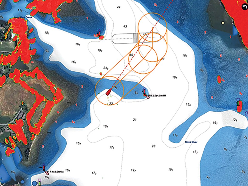
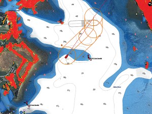
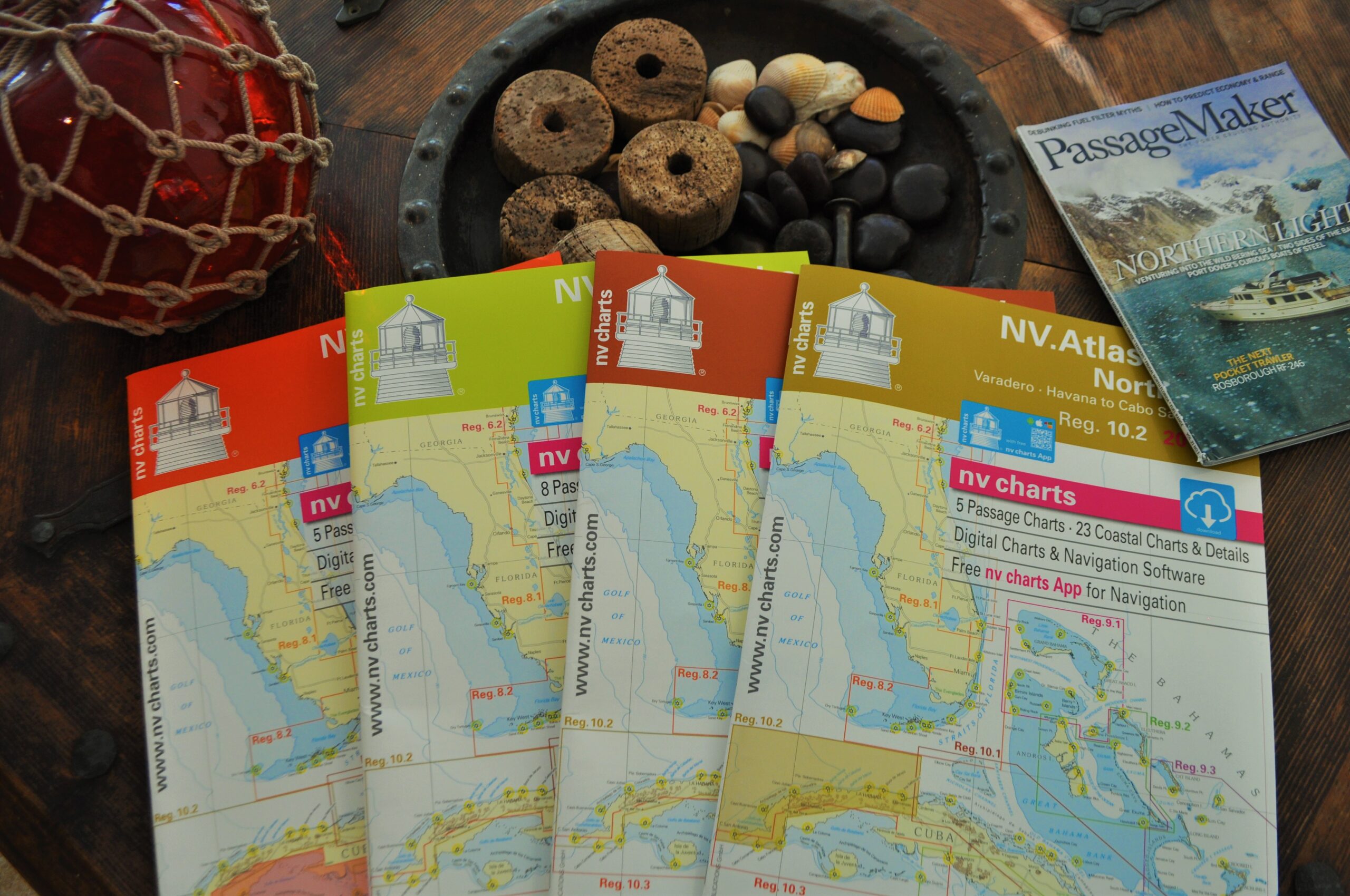
NV Charts Puts Paper In Its Place

Personally I have no problem going electronic-only when transiting familiar waters or inland waterways. But I love maps and charts. In fact as I typed those six preceding words, I looked up lovingly at the map of the Caribbean basin above my desk.

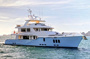
A side three-quarter view of a large, rugged expedition trawler named "PAUL JOHANSEN" cruising through calm open water. The vessel features a dark blue hull creating a white wake at the bow, paired with a cream-colored superstructure and a high pilothouse. A tall central mast holds multiple radar domes and communication antennas, while the upper deck carries a white tender and a bright yellow kayak. An American flag flies from the stern under a grey, overcast sky.

Straight Life

Once a rescue craft, this Norway-built steel trawler is the ticket to ride for a venturesome crew.

Advertisement
Advertisement