

Advertisement

debat

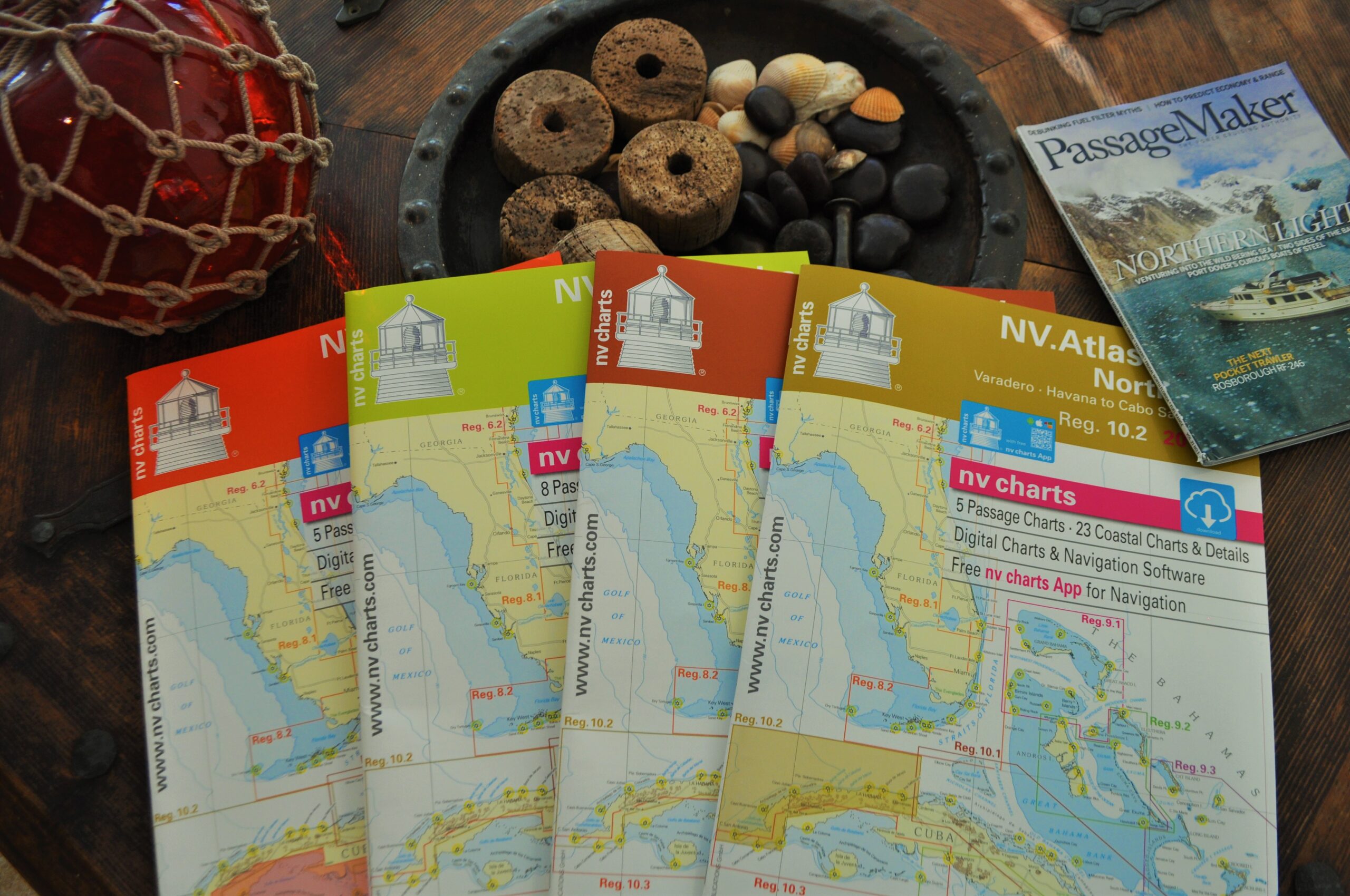
NV Charts Puts Paper In Its Place

Personally I have no problem going electronic-only when transiting familiar waters or inland waterways. But I love maps and charts. In fact as I typed those six preceding words, I looked up lovingly at the map of the Caribbean basin above my desk.

Three side-by-side screenshots from the Navionics app showing nautical charts of Hell Gate and Wards Island, contrasting a correct manually plotted water route on the left with two flawed AI-generated routes on the middle and right that erroneously plot course lines directly across land.

A Suspicious Plot

I used AI to chart a course through a notorious waterway. The results were unusable.

An exterior dusk photograph looking through the large side windows into the illuminated, warm cherrywood salon and helm area of a Sabre motor yacht as the sun sets over the water.

South by Down East

A brisk November run from Connecticut to New Jersey showcases just how comfortable the Sabre 51 Salon Express really is.

Advertisement
Advertisement