Advertisement

charts

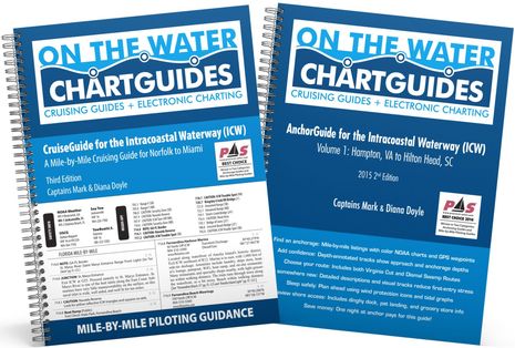
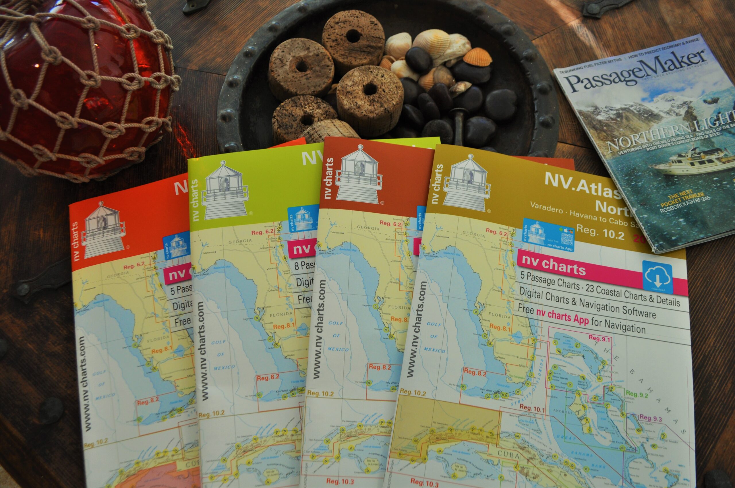
NV Charts Puts Paper In Its Place

Personally I have no problem going electronic-only when transiting familiar waters or inland waterways. But I love maps and charts. In fact as I typed those six preceding words, I looked up lovingly at the map of the Caribbean basin above my desk.

Knowing When Its Time To Upgrade

It is always amazing to me how quickly marine electronics evolve. It seems that at every boat show there is something new, something better-while at

How Accurate Are Our Charts?

For the past three years we’ve used electronic charting, combined with GPS, for navigation. For instance, on a recent overnight trip from New York Harbor

Destination: St. Augustine

“First, we went to St. George Street and visited the oldest house in the United States. Then we went to Hospital Street and seen the

Crossroads To Paradise

“It’s 7 in the morning. On the ground floor of the Jaragua Hotel she is assaulted at the noise-that atmosphere, familiar by now, of voices,

Pine Island Sound

The passageway into the small harbor looked wide and inviting, but the chart showed that only about one-third of its width was safe to use.

life rafts

Rescue Resource

In an emergency, a properly maintained, easy-to-launch life raft can make all the difference.

Selene 60

Full Circle

Why we chose to build our dream version of a Selene 60 from the keel up.

Playa El Zonte, Strand in El Salvador

Global Ambitions

Two decades after their first circumnavigation, Don and Anja Richards are crossing oceans again to help their son, Keith, kickstart his own cruising dream.

Having Fortitude

We caught up to the liveaboards at their winter roost in Southwest Alaska to chat about following your dreams and living a life less ordinary.

Star Power

A veteran sailor brings celestial navigation skills to a motoryacht’s transatlantic passage.

Advertisement
Advertisement