There’s An App For That
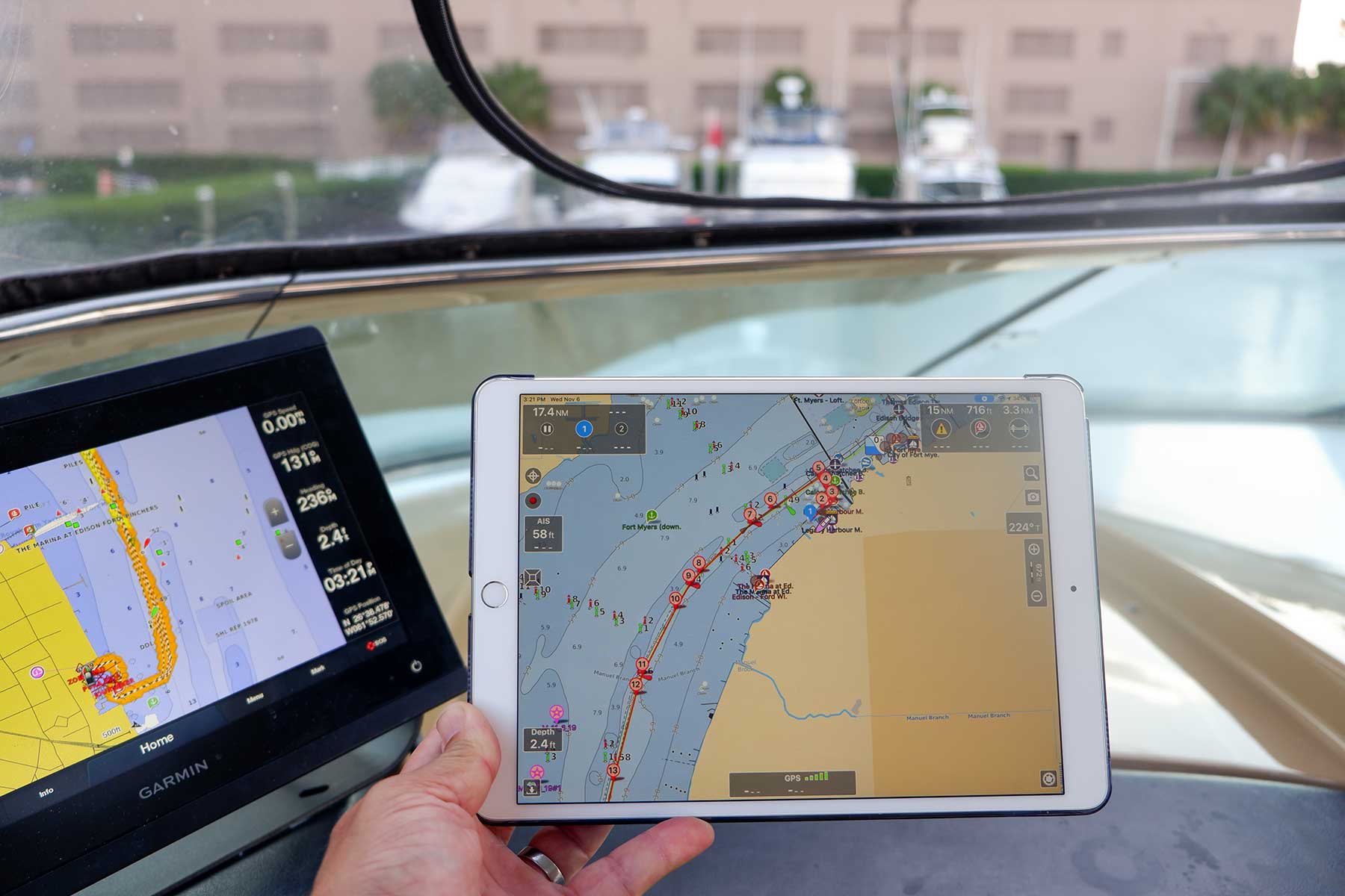
So many apps now exist for boaters. Electronics editor Ben Stein unpacks the top-shelf maritime apps available.



So many apps now exist for boaters. Electronics editor Ben Stein unpacks the top-shelf maritime apps available.

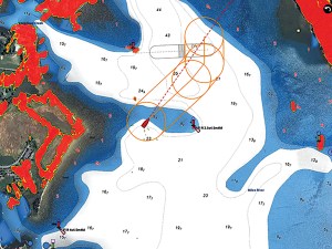
Seabirds fitted with radar detectors are helping to pinpoint vessels that turn off their transponders.

Cortex changes the game in marine handheld technology.
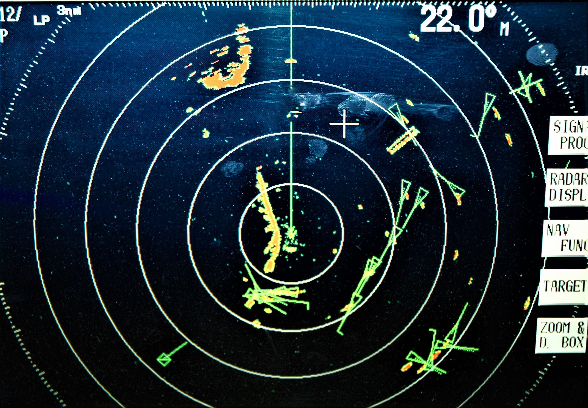
Relying on AIS? There may be more out there than what you see on the screen.
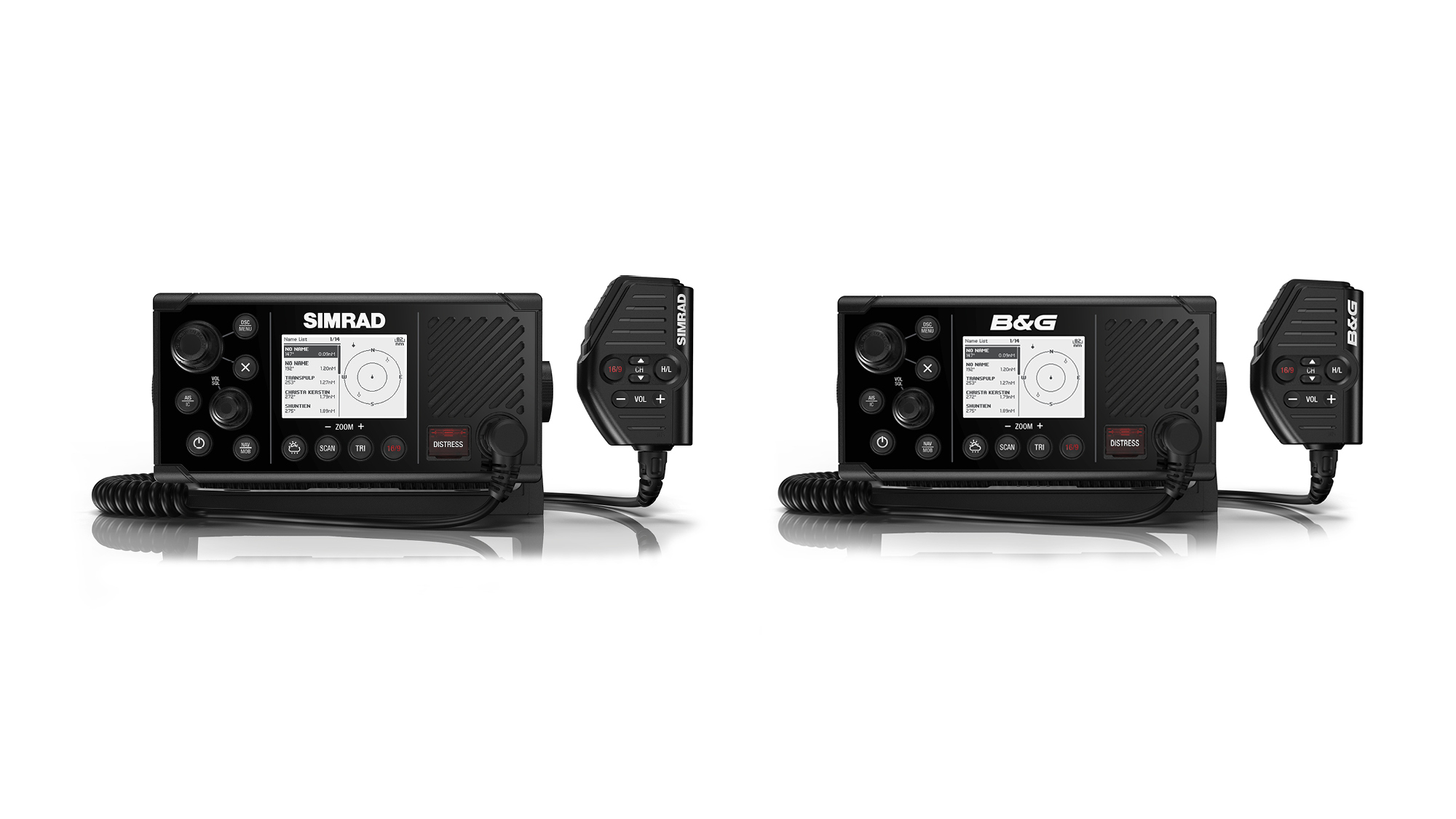
Navico Brands, Simrad and B&G, announced a new VHF radio earlier this week that has built in AIS for both transmission and reception.
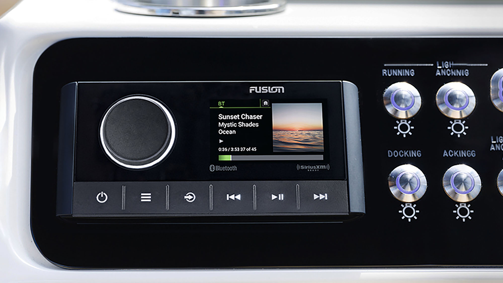
The Raymarine Ray90 is a full-featured blackbox VHF radio with wireless handsets and Bluetooth audio

Unregulated AIS fishing beacons are most likely illegal and pose a hazard to navigation
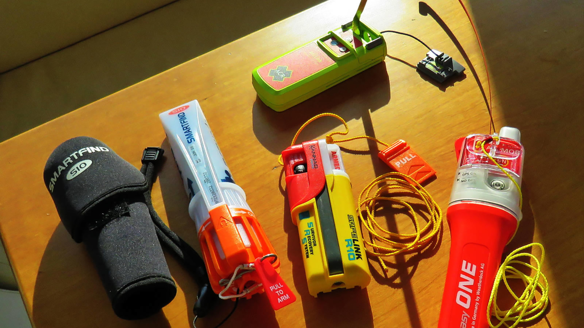
Written by Ben Ellison on August 25th, 2017 for Panbo, The Marine Electronics Hub Given my accidental activation of an AIS MOB beacon a few
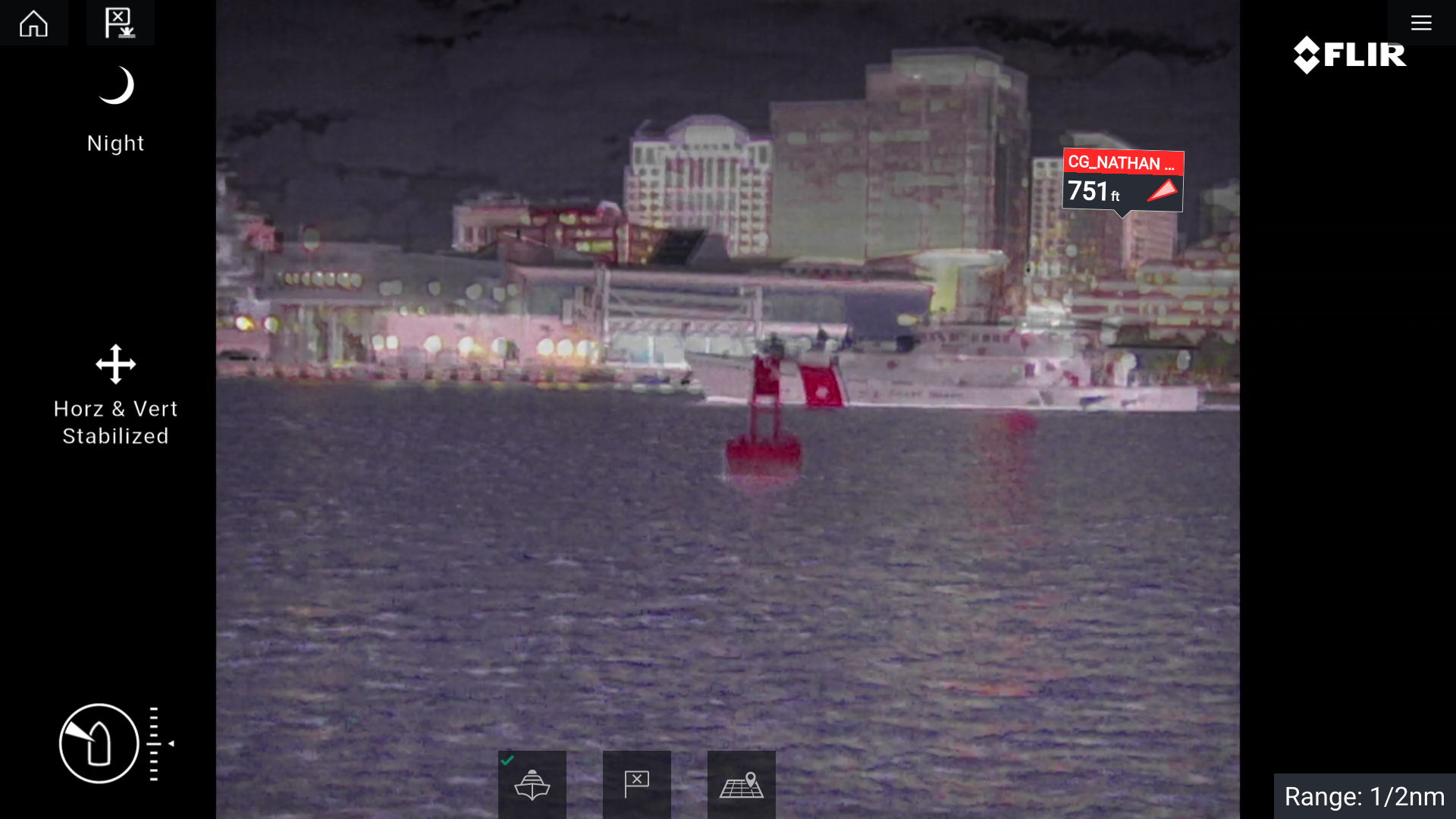
Written by Ben Ellison on August 8th, 2017 for Panbo, The Marine Electronics Hub The grins tell the story: Mission accomplished! Due to an obscure
Written by Ben Ellison on July 31, 2017 for Panbo, The Marine Electronics Hub While I do think that Gizmo offers a bountiful spread of

Compact Dehumidifier for Boats
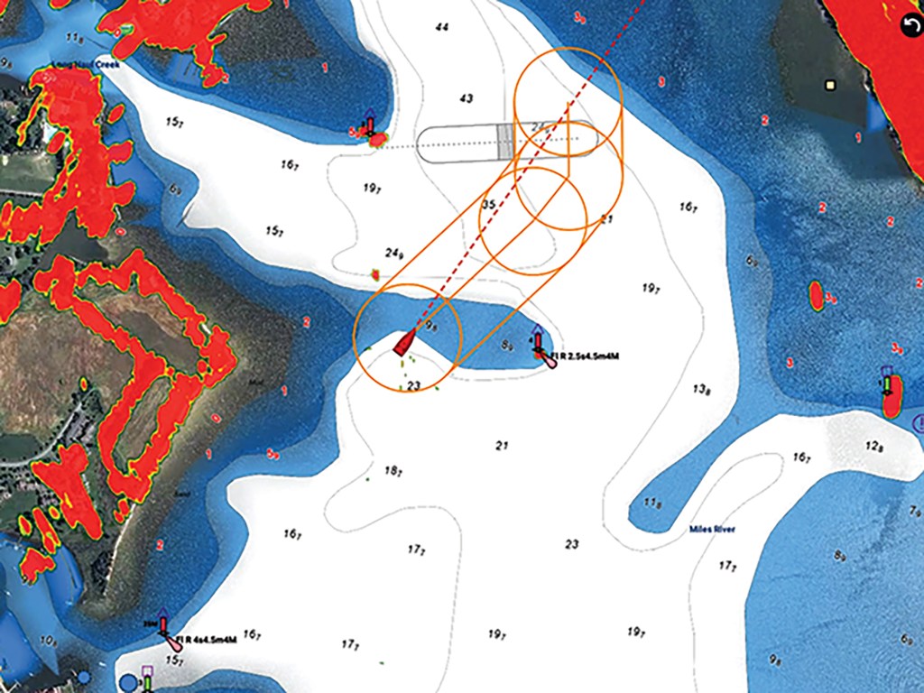
Groundings often happen in the places we think we know. These are the reasons why.

This world-cruising expedition yacht is the result of an evolution that began in 2008 with the first Nordhavn 86.

Feeling queasy on the water happens to all of us. Here’s how to identify the early signs and counter them.
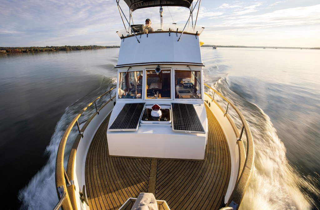
Conversations with the legendary lensman Onne van der Wal.

Nathan and Lindsay of the 71 Percent—the can’t stop, won’t stop power cruisers—completed a “wrong way” crossing of the Pacific Ocean.
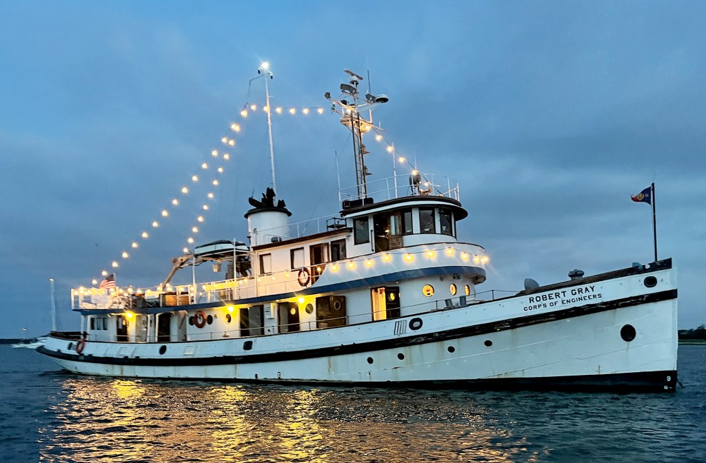
An adventure aboard a 90-year-old ship brings the past to life.

A traveling boat’s toolbox is never full. Try to equip yours to handle any issues that might arise.

A small crew finds the adventure they wanted on a bucket-list journey to Greenland aboard a custom aluminum yacht.
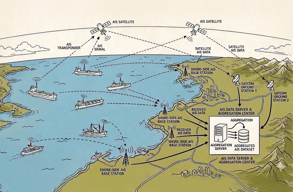
AIS networks are a mighty addition to any onboard suite of electronics. They have significant value, but also limitations.