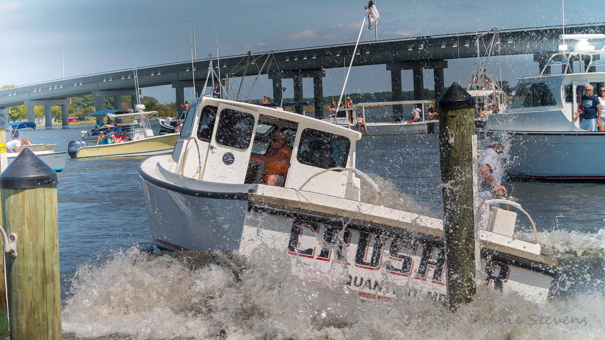
Extreme Boat Docking: Chesapeake Style (VIDEO)
There are docking skills and then there are “docking” skills. As they say here on the Chesapeake: “It’s an Eastern Shore thing; you wouldn’t understand.”


There are docking skills and then there are “docking” skills. As they say here on the Chesapeake: “It’s an Eastern Shore thing; you wouldn’t understand.”
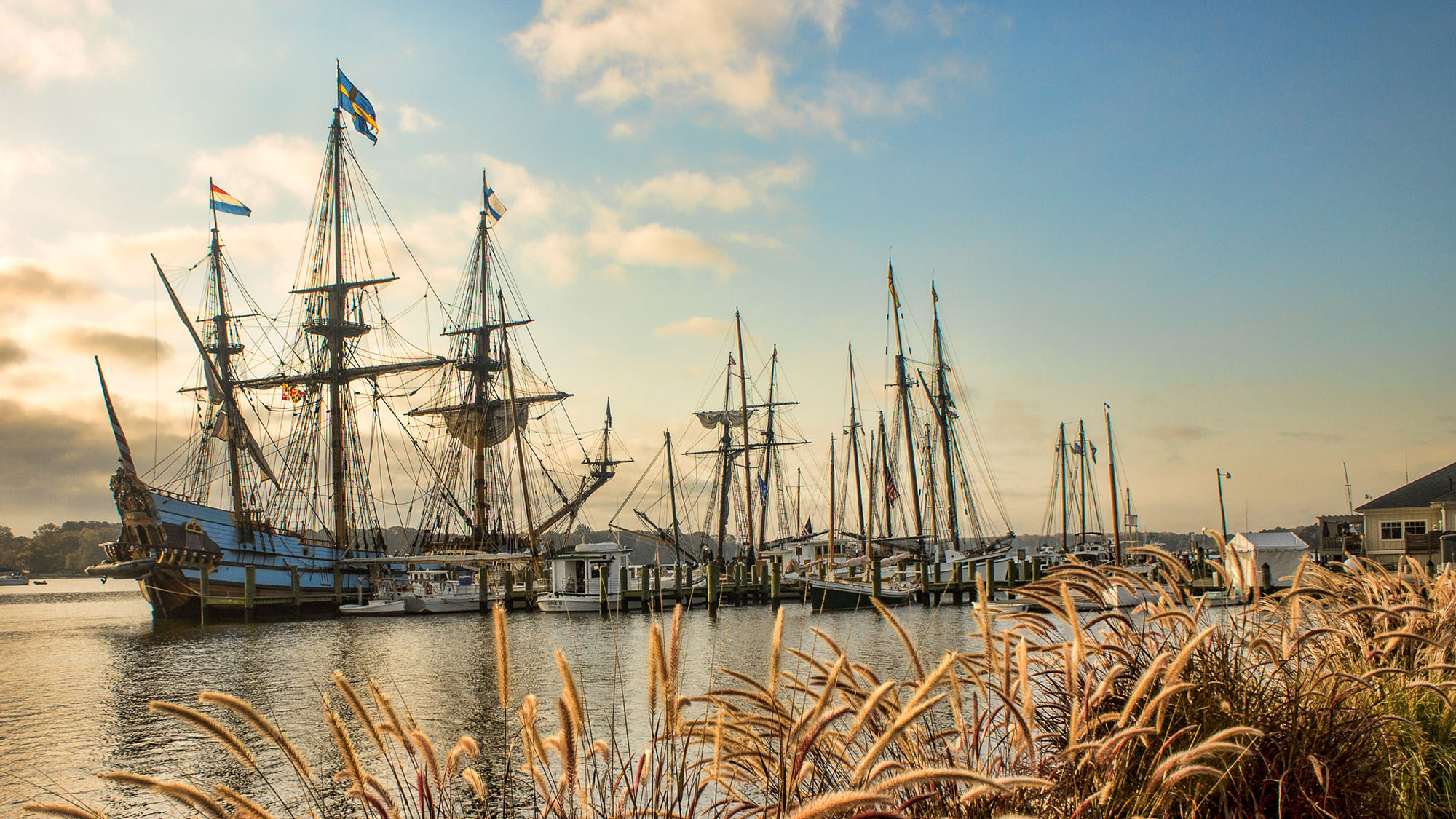
This Colonial seaport charms with a chill riverscape and Small-town vibe
Spend the night in historic Baltimore Harbor Light
Rising tides threaten Tangier Island’s unique way of life—and the isolated seafaring community that calls it home.

My favorite Crown Jewel on all the Chesapeake is St. Michaels. This charming village with a fabulous anchorage overlooking the Chesapeake Bay Maritime Museum is without peer.

While neither the of the bays have iced over completely yet this winter, many of their tributaries have solid sheets of ice across them, wreaking havoc for watermen and emergency agencies.
LOOKING BACK ON IT, THE SIGNS WERE CLASSIC. WE’D MADE OUR WAY DOWN ONE PATH, only to find our needs had changed when we got
At the end of the Bahamas Pokie Run, we found ourselves on Growler in South Florida, 1,000 miles from home. We’d had a marvelous time
When I married Dave, I also married his dream of cruising the ICW. He had grown up sailing on the Chesapeake with his grandparents. I
“This is home now.” That was several thousand miles ago, but my husband’s words and that first day aboard Heron, our 1981 Grand Banks Classic 42-foot
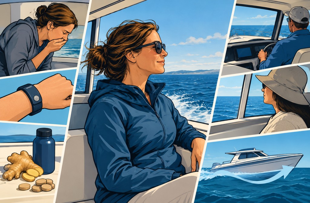
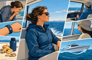
Feeling queasy on the water happens to all of us. Here’s how to identify the early signs and counter them.
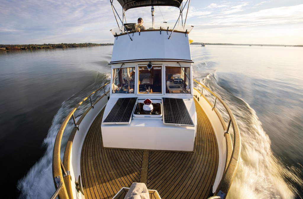
Conversations with the legendary lensman Onne van der Wal.
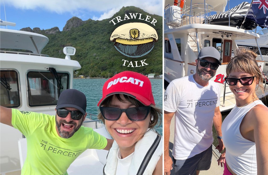
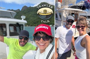
Nathan and Lindsay of the 71 Percent—the can’t stop, won’t stop power cruisers—completed a “wrong way” crossing of the Pacific Ocean.
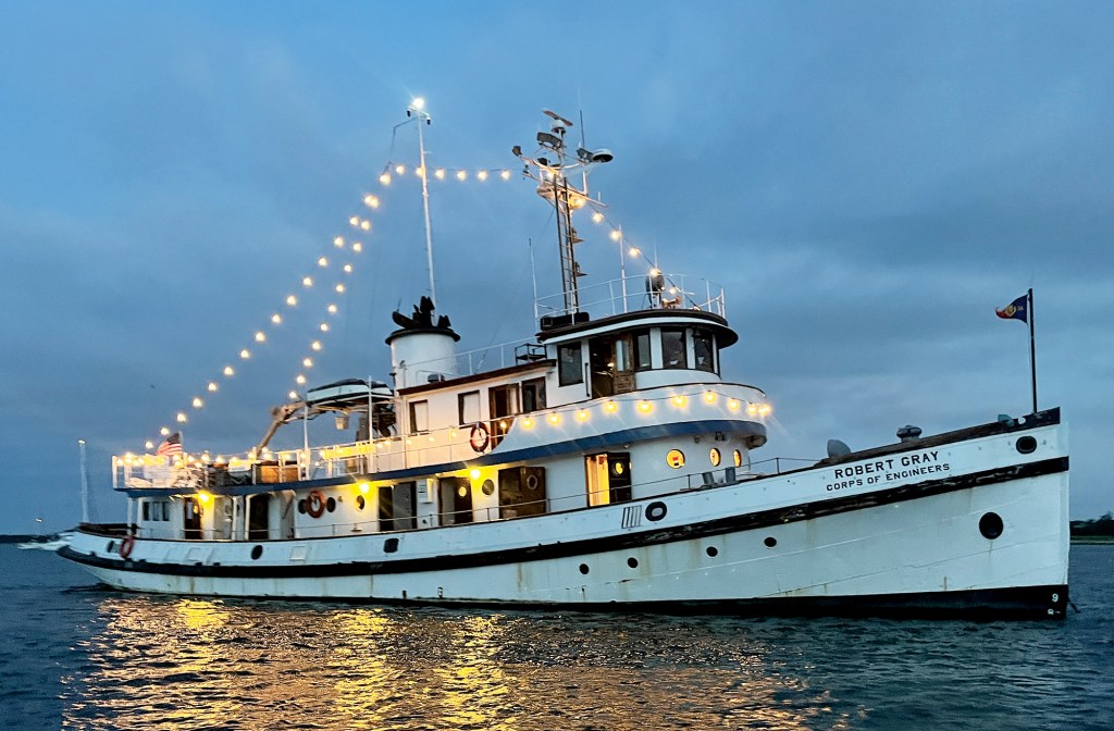
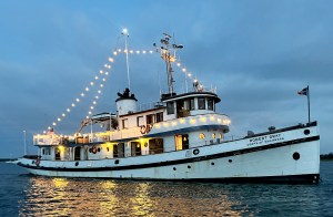
An adventure aboard a 90-year-old ship brings the past to life.
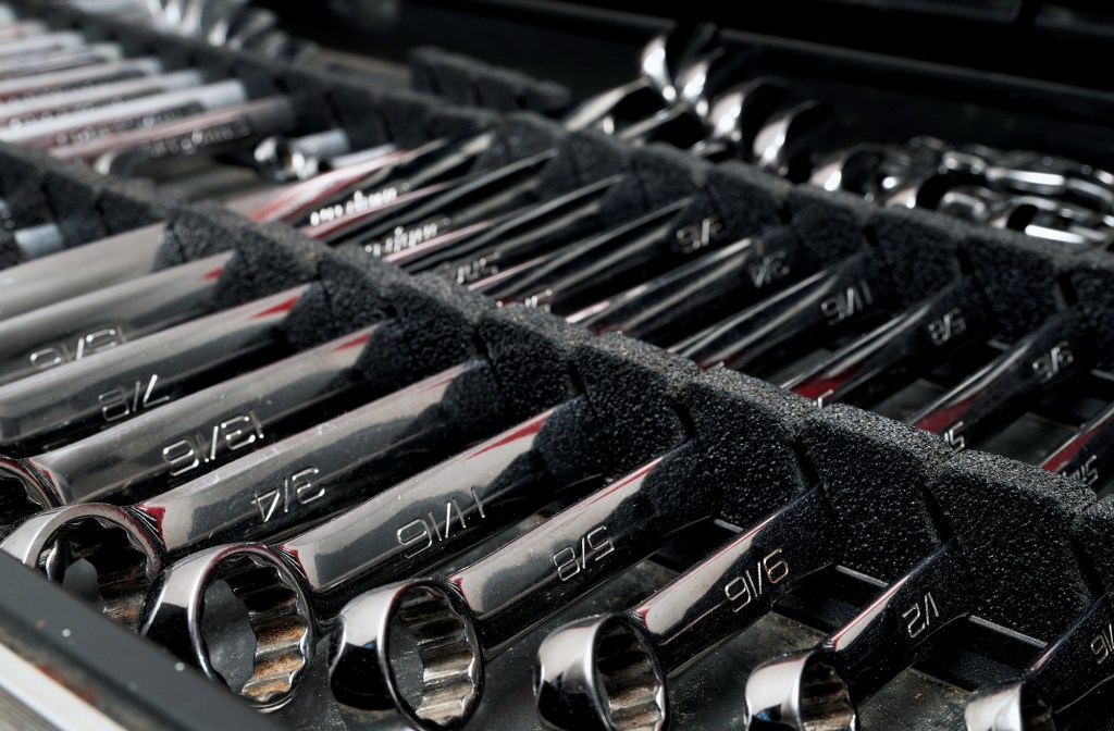
A traveling boat’s toolbox is never full. Try to equip yours to handle any issues that might arise.
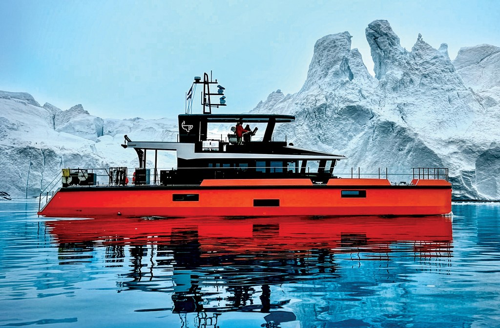
A small crew finds the adventure they wanted on a bucket-list journey to Greenland aboard a custom aluminum yacht.
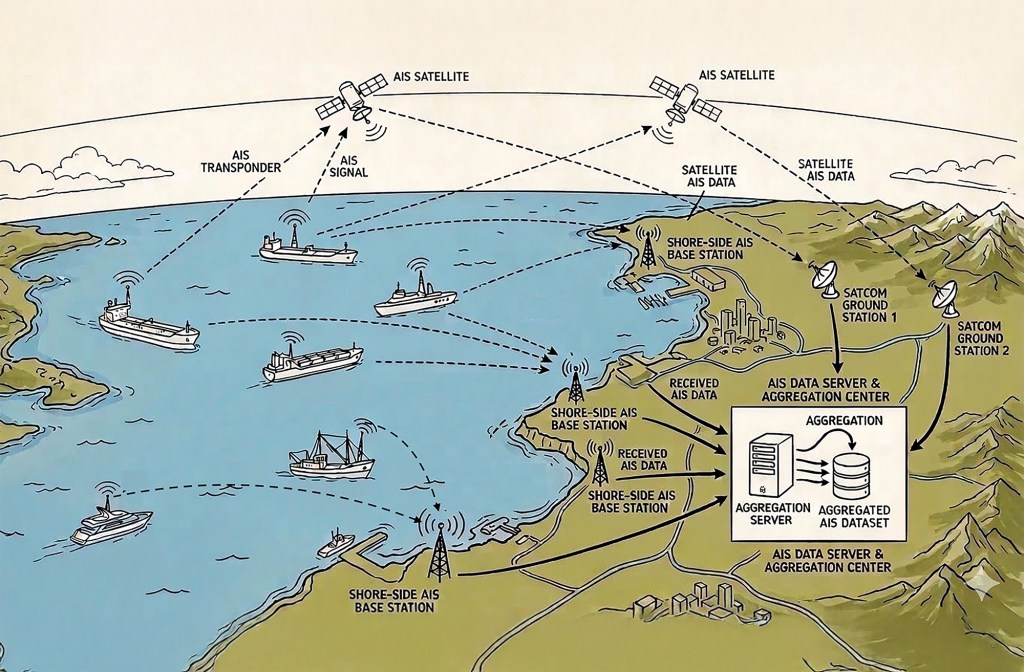
AIS networks are a mighty addition to any onboard suite of electronics. They have significant value, but also limitations.
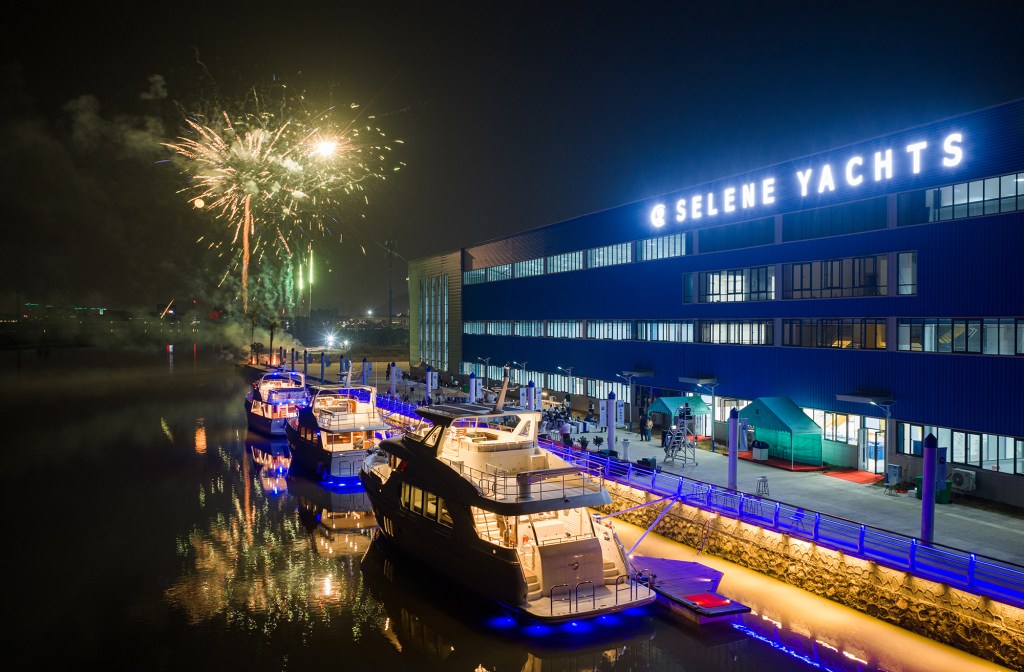
Video Podcast
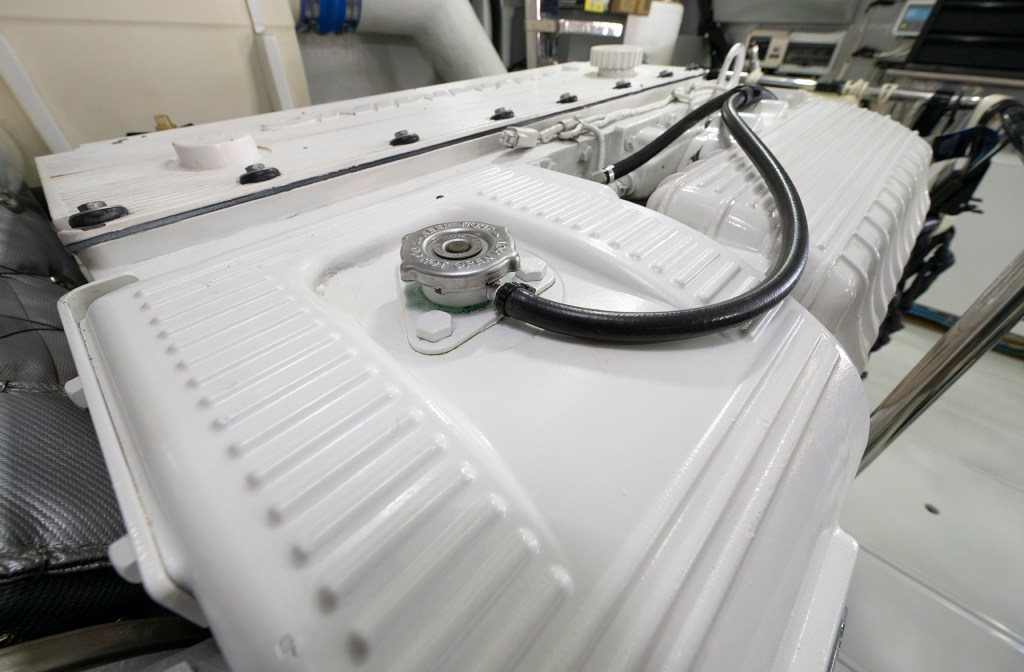
If you give your engine and generators regular love and attention, they won’t let you down.
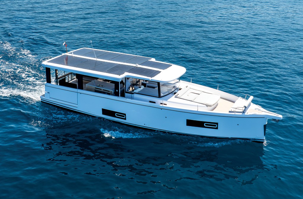
A loft-like open layout and a choice of power-train options let buyers choose their own adventure.