Advertisement

requirements

The Ins & Outs of Marine VHF

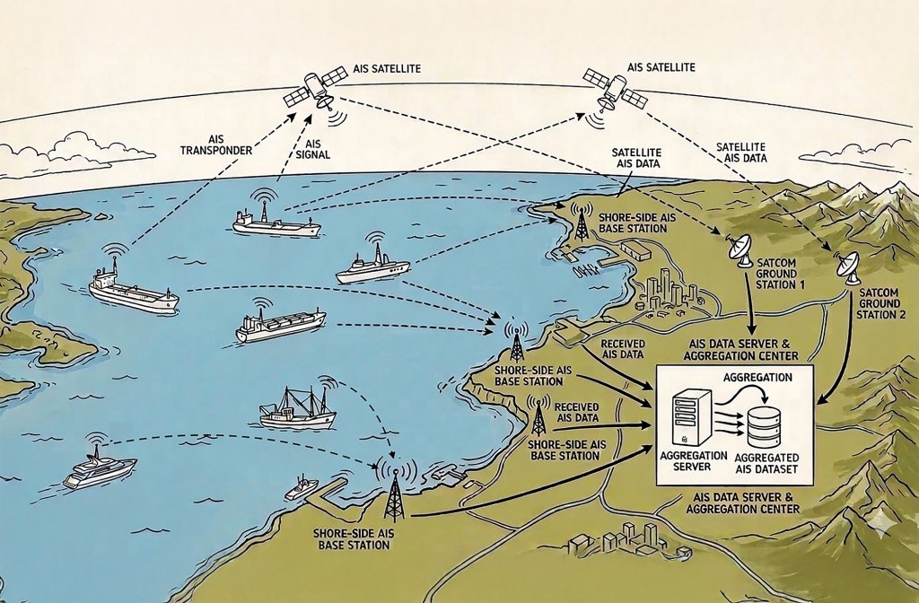
The Ins And Outs Of Marine VHF By: Joe Minick VHF RADIO GLOSSARY Automatic Identification System (AIS): A system used by ships and Vessel Traffic

Smoke Detectors

Why are smoke detectors so rarely found aboard cruising vessels? Reliable smoke detector technology has been around for decades. Much like their subsequently released carbon

Power Play: Part II

In Part I of this two-part series, we discussed four key factors to consider in preparing for plugging into international power: line frequency, nominal voltage, voltage fluctuations, and physical connection requirements. In Part II, we’ll look at three approaches to preparing your boat for connecting to international shorepower, and we’ll outline the advantages and disadvantages of each. The first approach to preparing your boat for connecting to shorepower overseas is finding “power-tolerant” equipment. If you’re careful and selective, it is possible to locate equipment that will run on most international power. Be sure to check the specifications for frequency range as well as voltage. Many of the small plug-in transformers that we use to power our laptop computers, digital cameras, and cell phones, for example, will run on just about any power from about 100 to 250 volts and 50 or 60Hz. Check the labels carefully.

Project X: Part 2

I really struck a nerve with my Project X concept of an affordable passagemaker (see “Project X” PMM April ’04). The response from PMM readership

Absolute 70 Fly

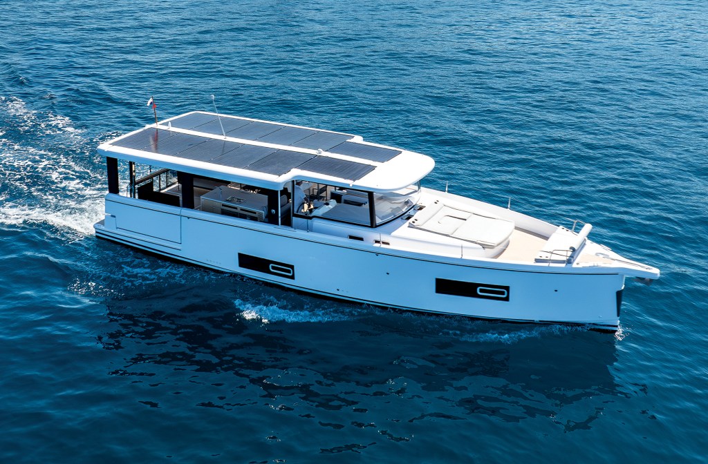
Absolute 70 Fly Reviewed

Twin 1,000-hp Volvo Penta D13s and 285 nautical miles of range give the new Absolute 70 Fly the room and speed to roam.

Twin delivery captains Assen and Nikolay Alexandrov standing on the bow deck of a motor yacht docked alongside a pier.

The Twins

After more than 500,000 nautical miles as yacht delivery captains, Assen and Nikolay Alexandrov are still bringing boats home.

Alt Text: A close-up view of two polished stainless-steel windlasses and anchor gypsies mounted on the white foredeck of a yacht under a partly cloudy sky.

Anchors Aweigh

Windlass and ground tackle maintenance can make all the difference in an emergency.

A Garmin marine chartplotter display screen showing a digital nautical map with AIS vessel tracking, route waypoints, and navigation data overlay.

Understanding AIS

Good seamanship means using every available tool, but never relying on any one alone.

Three side-by-side screenshots from the Navionics app showing nautical charts of Hell Gate and Wards Island, contrasting a correct manually plotted water route on the left with two flawed AI-generated routes on the middle and right that erroneously plot course lines directly across land.

A Suspicious Plot

I used AI to chart a course through a notorious waterway. The results were unusable.

Advertisement
Advertisement