Advertisement

current

Problem Found, Problem Solved

Skull Cove: The name of our Bramham Island rock-rimmed anchorage was enough to prompt concern. The least depth of 11 feet overnight was worrisome, too.

Electrical Interference

It’s a phenomenon I’ve encountered on a number of occasions in my marine industry career. The causes are simple and easily understood, while the solutions can be maddeningly elusive. The side effects can be everything from static or distortion on an otherwise high-quality television screen to humming or buzzing on a VHF radio, and in some cases, malfunctions in autopilot control systems, some of which may be dramatic. I’ve troubleshot more client complaints that start with the observation, “when I key the microphone the boat makes a hard turn to port/starboard,” than I can recall.

No Choice – Rapids Ahead

Two routes lead north along the Inside Passage in lower British Columbia, from urbanity, highways, and talk shows on the radio to the welcome wilderness of central and northern British Columbia. Both offer challenges and the opportunity to take a beating from the sea. One is a long haul through often stormy waters, but with hardly a need to change course for a couple of days, while the other curls among islands and waterways, turns from narrow channels to major inlets and vessels glide past snow-topped peaks along the shore.

Absolute 70 Fly

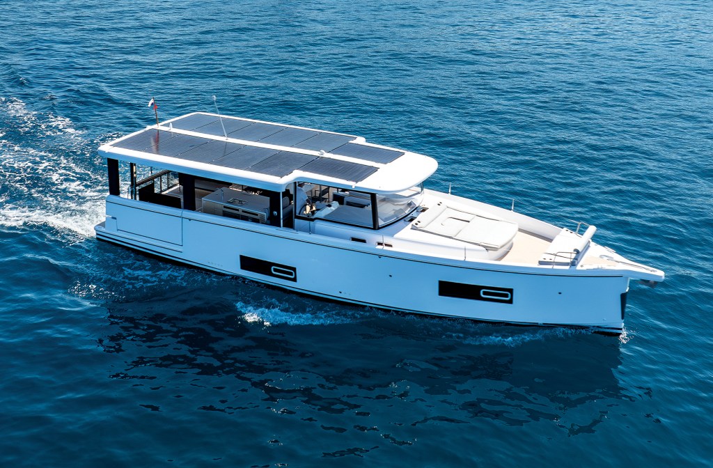
Absolute 70 Fly Reviewed

Twin 1,000-hp Volvo Penta D13s and 285 nautical miles of range give the new Absolute 70 Fly the room and speed to roam.

Twin delivery captains Assen and Nikolay Alexandrov standing on the bow deck of a motor yacht docked alongside a pier.

The Twins

After more than 500,000 nautical miles as yacht delivery captains, Assen and Nikolay Alexandrov are still bringing boats home.

Alt Text: A close-up view of two polished stainless-steel windlasses and anchor gypsies mounted on the white foredeck of a yacht under a partly cloudy sky.

Anchors Aweigh

Windlass and ground tackle maintenance can make all the difference in an emergency.

A Garmin marine chartplotter display screen showing a digital nautical map with AIS vessel tracking, route waypoints, and navigation data overlay.

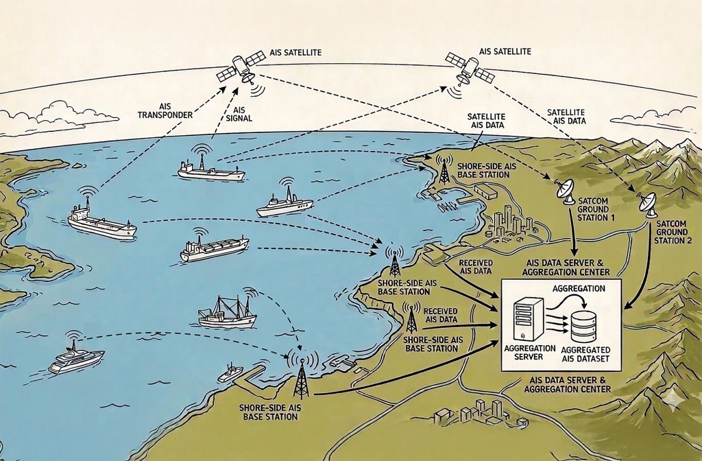
Understanding AIS

Good seamanship means using every available tool, but never relying on any one alone.

Three side-by-side screenshots from the Navionics app showing nautical charts of Hell Gate and Wards Island, contrasting a correct manually plotted water route on the left with two flawed AI-generated routes on the middle and right that erroneously plot course lines directly across land.

A Suspicious Plot

I used AI to chart a course through a notorious waterway. The results were unusable.

Advertisement
Advertisement