NOAA Paves the Way in Modern Chart Making
Making and updating nautical charts is a continuous process that involves many people from different disciplines and organizations.


Making and updating nautical charts is a continuous process that involves many people from different disciplines and organizations.

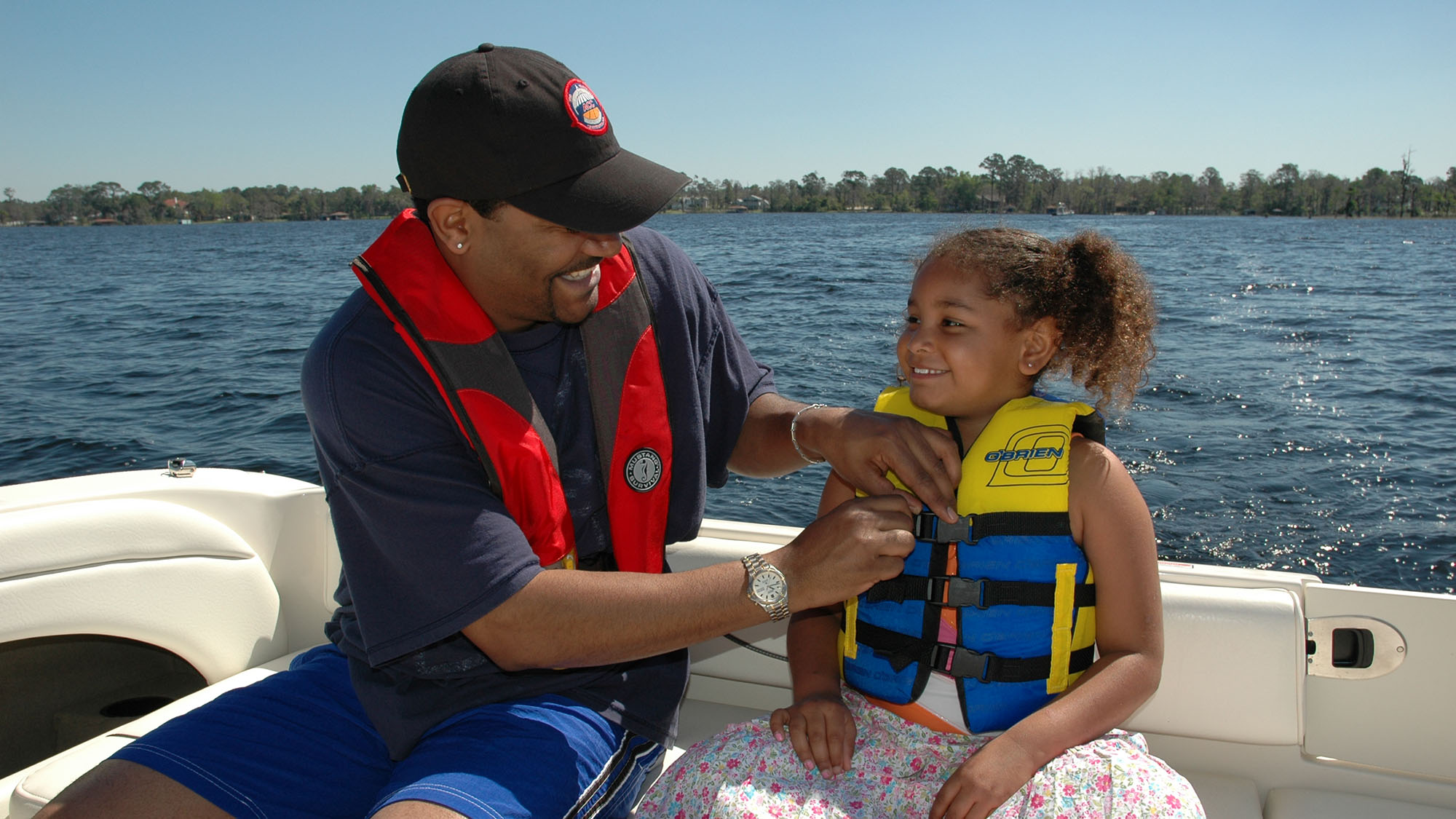
Successful navigation is really just answering three simple questions: Where am I? Where am I going? How do I get there from here? Even when
In December 2013, I wrote stories about the “magenta line” on our nautical charts depicting the Intracoastal Waterway, and now lawyers want me to answer

Did you know that some areas of the U.S. coastal chart you’re using may only show land and bottom features accurate in position to +/- 1,600 feet, and you shouldn’t be confident about the depth soundings either?
Personally I have no problem going electronic-only when transiting familiar waters or inland waterways. But I love maps and charts. In fact as I typed those six preceding words, I looked up lovingly at the map of the Caribbean basin above my desk.
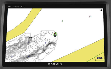
Yup, you’re going to be able to easily collect soundings as you cruise, if you want, you can watch the resulting high def sonar chart materialize in your wake.
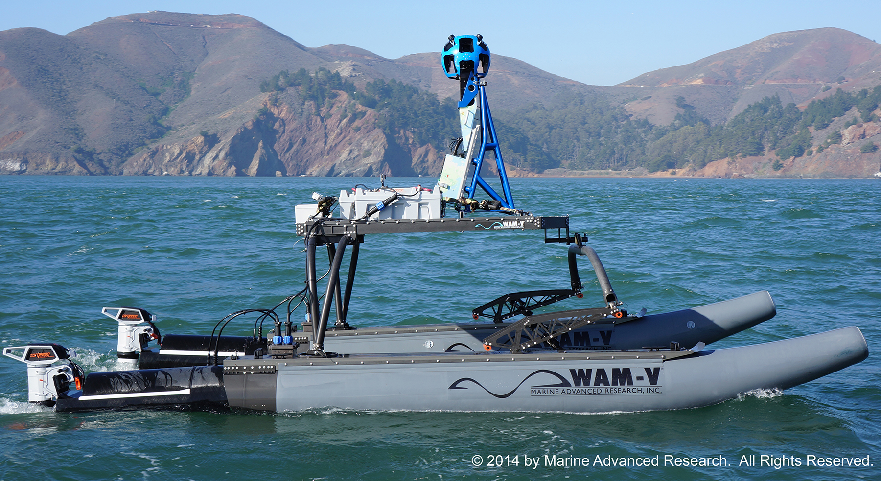
With the help of Google, Torqueedo electric power, solar panels, and a specially designed multihull boat, the Baykeeper project is hard at work photographing some 500 miles of coastline around the San Francisco Bay area.
An estimated 70 percent of the trash sinks, and much of it is tiny bits of non-biodegradable plastic floating out of sight just below the surface creating what NASA calls the ‘Garbage Islands.’
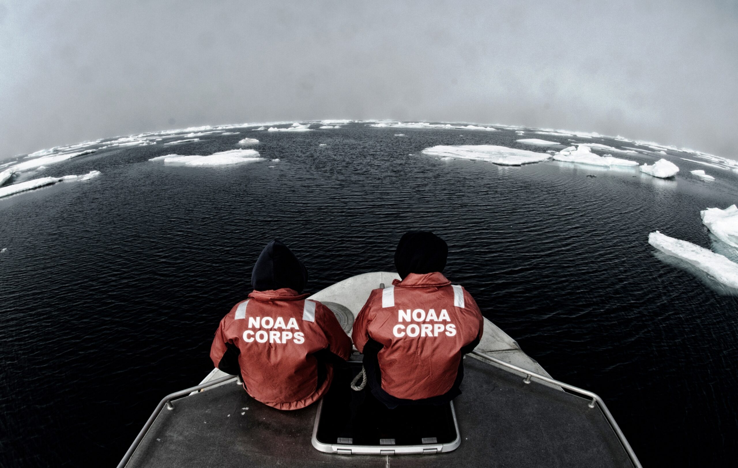
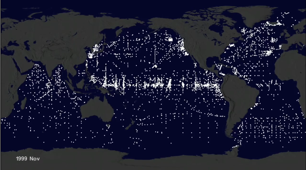
NOAA’s quest to better understand the world’s seafloor continues, as the National Oceanic and Atmospheric Administration has committed two of its ships to collect and update chart data in the Arctic.
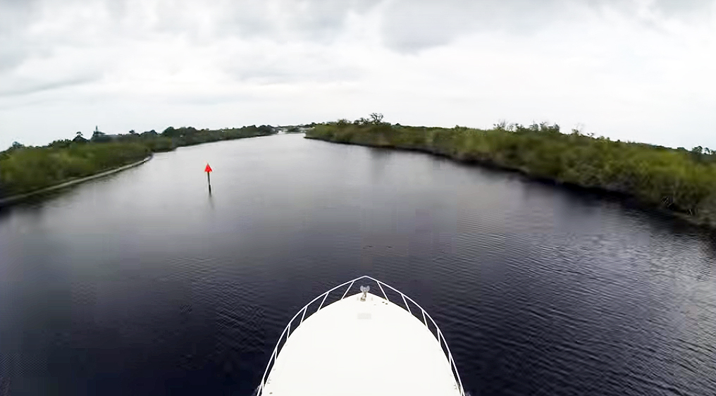
For the past three years we’ve used electronic charting, combined with GPS, for navigation. For instance, on a recent overnight trip from New York Harbor

The crew of Celt, a Nordhavn 43, explore Australia and Indonesia on their multiyear circumnavigation.

All the right things, in all the right places.

Bearings from the Editor’s Desk

Devising a safe, easy way to get our dog on shore from an anchorage required some innovation.

Before you go to sea, know how to access telehealth services, acquire medication refills and get medical care.

Planning for loss of steering and engine control requires familiarity, not new equipment.

A set layout is paired with an impressive list of standard equipment on a proven hull design.

When you can’t go any faster or slower, there are other options to help you arrive safely.

Let’s bring back these nautical words and terms. They’re better than the way we communicate today.

Once a rescue craft, this Norway-built steel trawler is the ticket to ride for a venturesome crew.


