Advertisement

seamanship

Look Up

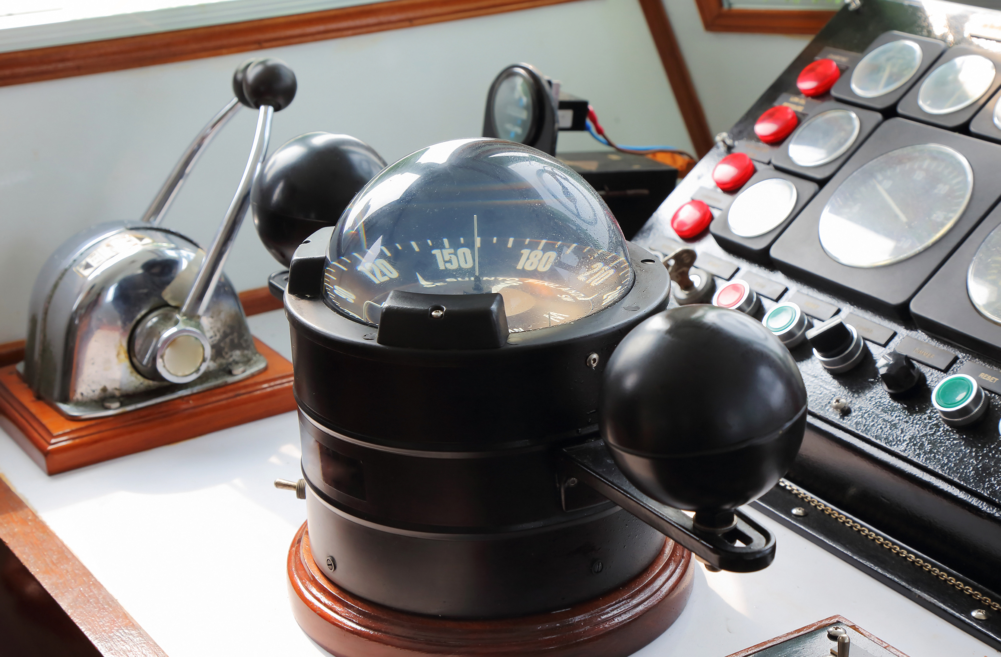
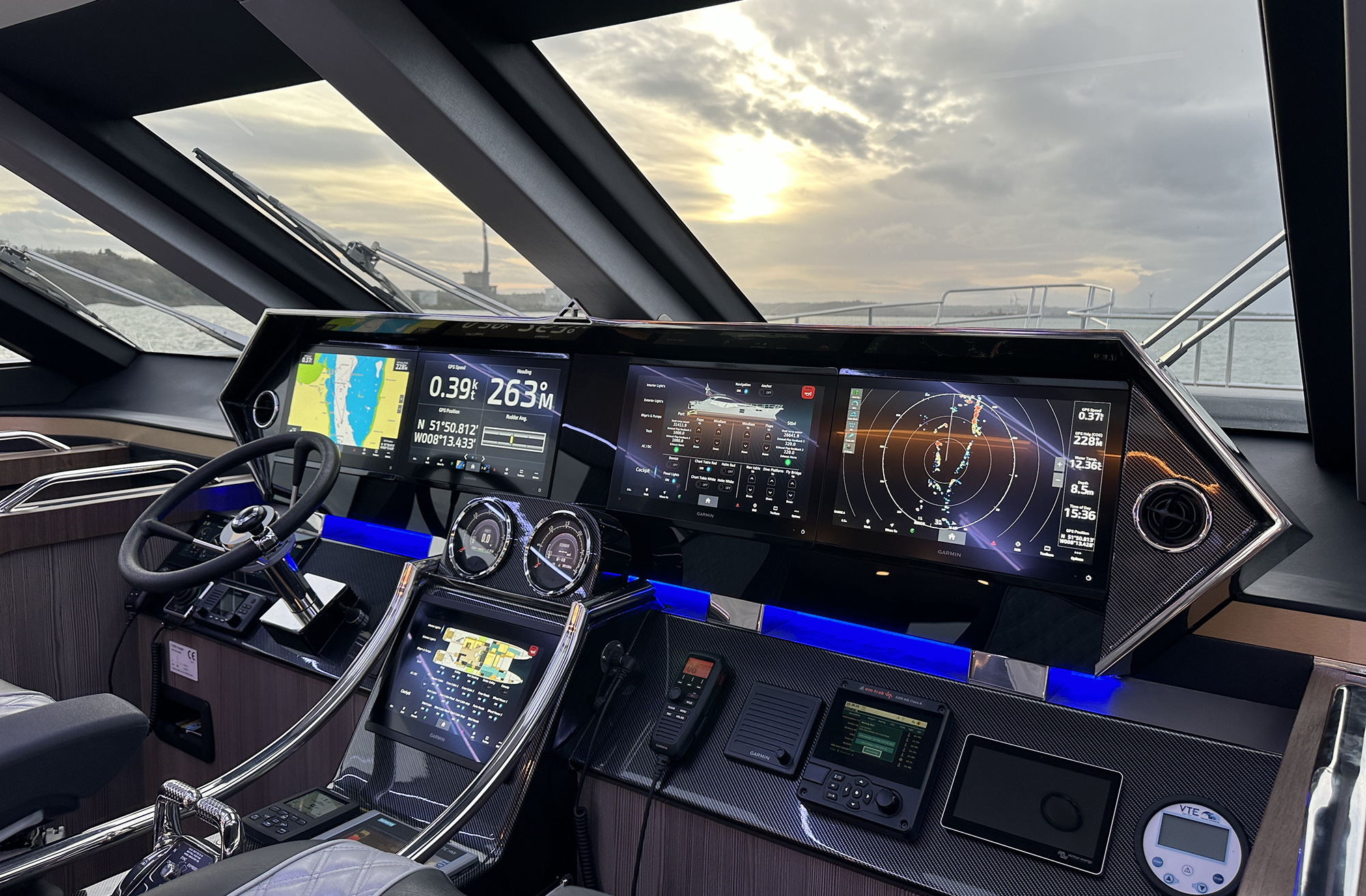
Responsible boat handling and good seamanship require balancing helm technology with situational awareness.

Eyes on the Water

Watchkeeping is an underappreciated skill that should always be part of operating the boat.

Are You a Helm Hog?

Relinquishing the navigational duties while on longer passages benefits everyone on board.

Night Flight

After-dark cruising can be a rewarding way to hone navigation skills.

Battery Monitors

Many options are available to obtain the state of charge on a boat’s battery banks.

Weather Window

Understanding forecast models and their limitations can make you a safer boater.

Hot Take

A look at smart fire prevention tips, as well as how to be prepared in case a fire gains the upper hand on your boat.

Worse-Case Planning

Sure, you’ve read plenty about how to anchor, but what happens if you become unanchored?

Accidental Rescue

A pleasure cruise to the Dry Tortugas becomes a rough-weather mission of mercy.

Driven to Distraction

There’s a lot going on, all at once, along many inland waterways. These tips will help you stay focused.

Absolute 70 Fly

Absolute 70 Fly Reviewed

Twin 1,000-hp Volvo Penta D13s and 285 nautical miles of range give the new Absolute 70 Fly the room and speed to roam.

Twin delivery captains Assen and Nikolay Alexandrov standing on the bow deck of a motor yacht docked alongside a pier.

The Twins

After more than 500,000 nautical miles as yacht delivery captains, Assen and Nikolay Alexandrov are still bringing boats home.

Alt Text: A close-up view of two polished stainless-steel windlasses and anchor gypsies mounted on the white foredeck of a yacht under a partly cloudy sky.

Anchors Aweigh

Windlass and ground tackle maintenance can make all the difference in an emergency.

A Garmin marine chartplotter display screen showing a digital nautical map with AIS vessel tracking, route waypoints, and navigation data overlay.

Understanding AIS

Good seamanship means using every available tool, but never relying on any one alone.

Three side-by-side screenshots from the Navionics app showing nautical charts of Hell Gate and Wards Island, contrasting a correct manually plotted water route on the left with two flawed AI-generated routes on the middle and right that erroneously plot course lines directly across land.

A Suspicious Plot

I used AI to chart a course through a notorious waterway. The results were unusable.

Advertisement
Advertisement