

Advertisement

San Francisco Bay Area

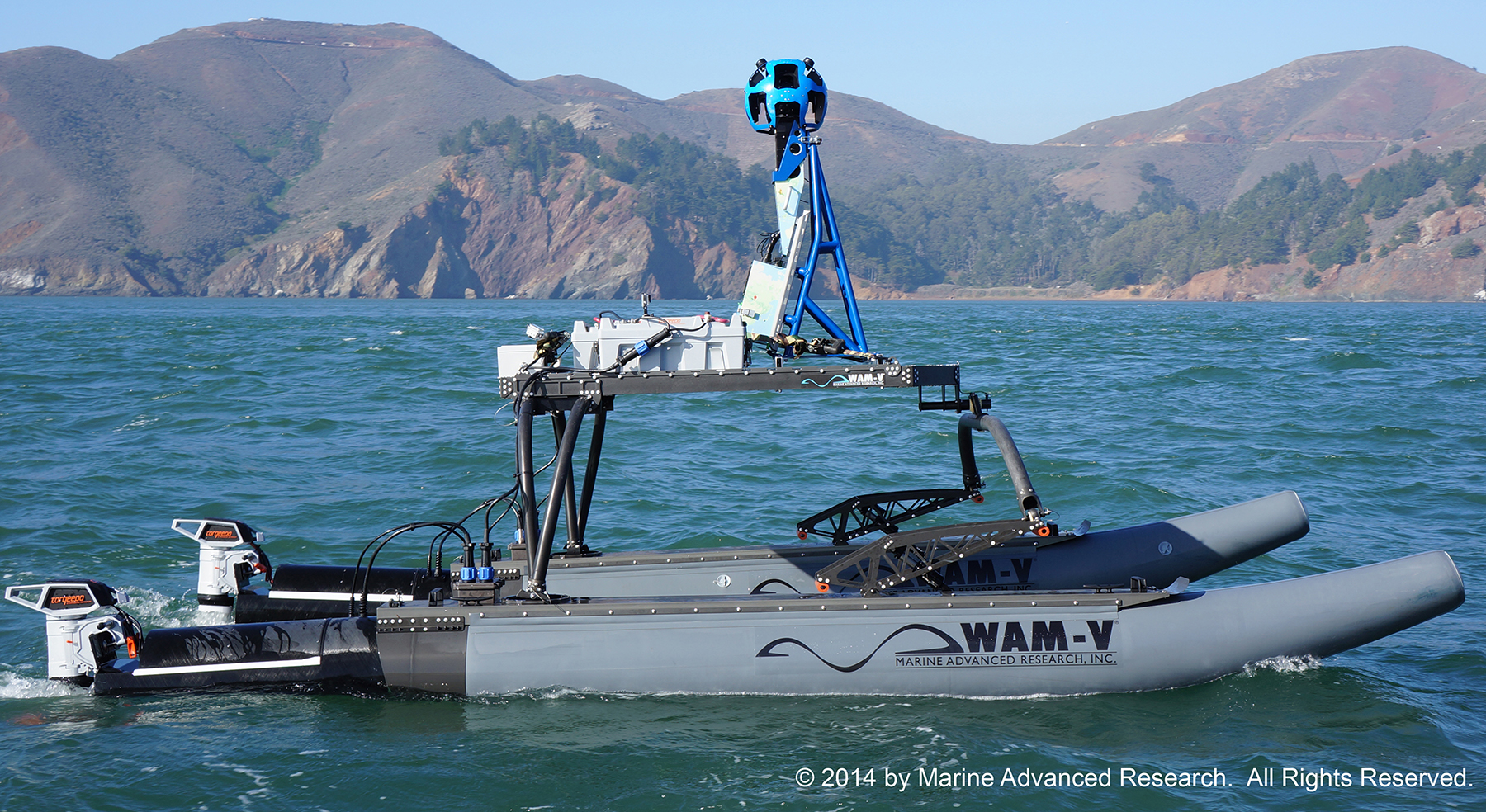
Google And Baykeeper Team Up To Map California Sealevels

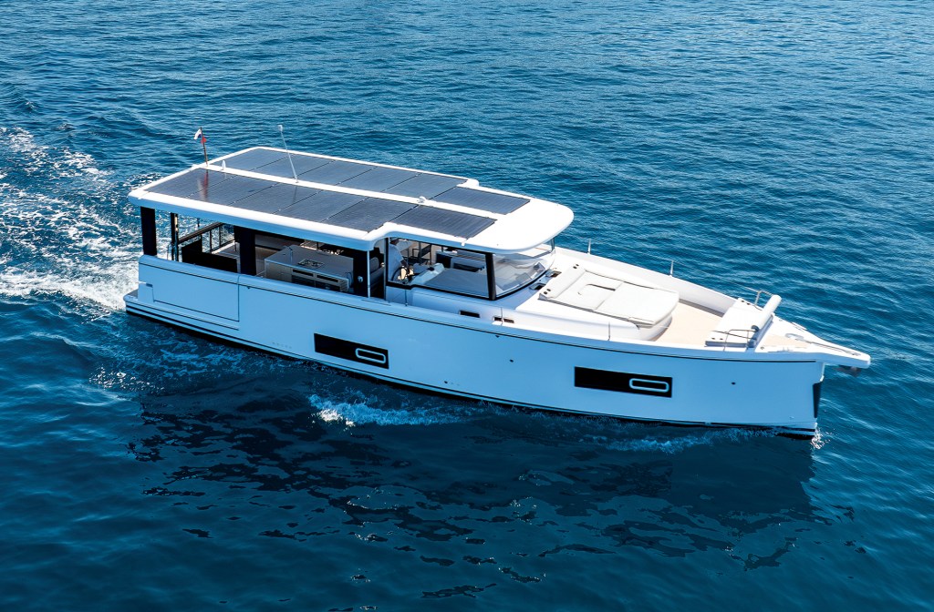
With the help of Google, Torqueedo electric power, solar panels, and a specially designed multihull boat, the Baykeeper project is hard at work photographing some 500 miles of coastline around the San Francisco Bay area.
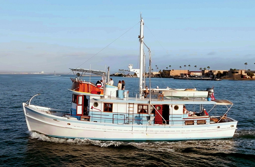
Crossing an Ocean Piggy-Back

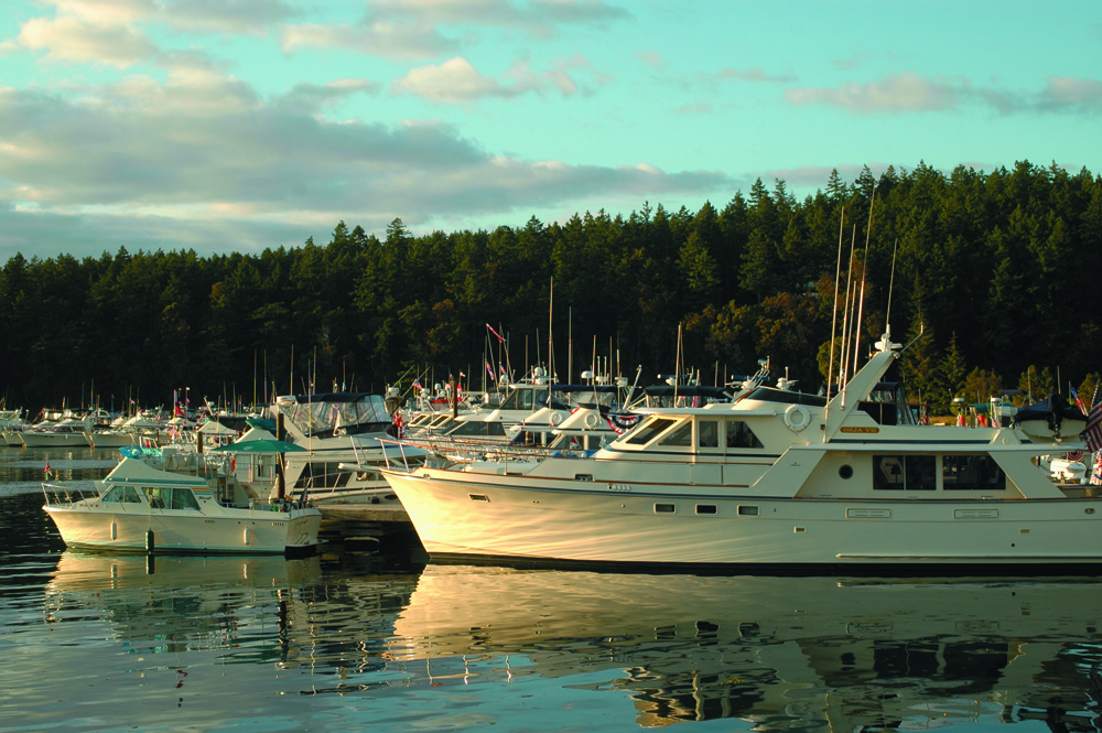
Over the past forty-seven years my husband Bob and I have cruised sailboats to many different parts of the world. Never in our wildest dreams,

Tollycraft Family, Friends, Boats

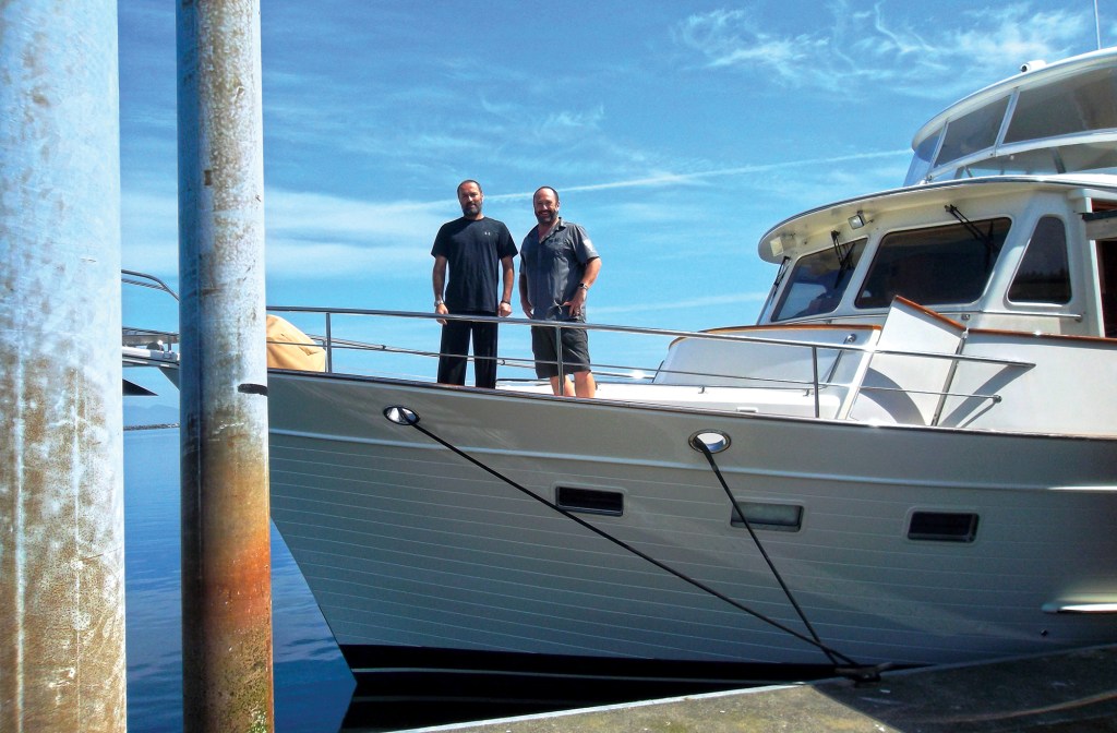
With their kids out of the nest and the future looking promising, Howard and Nancy Altman set out several years ago from their San Anselmo,

Alt Text: A close-up view of two polished stainless-steel windlasses and anchor gypsies mounted on the white foredeck of a yacht under a partly cloudy sky.

Anchors Aweigh

Windlass and ground tackle maintenance can make all the difference in an emergency.

A Garmin marine chartplotter display screen showing a digital nautical map with AIS vessel tracking, route waypoints, and navigation data overlay.

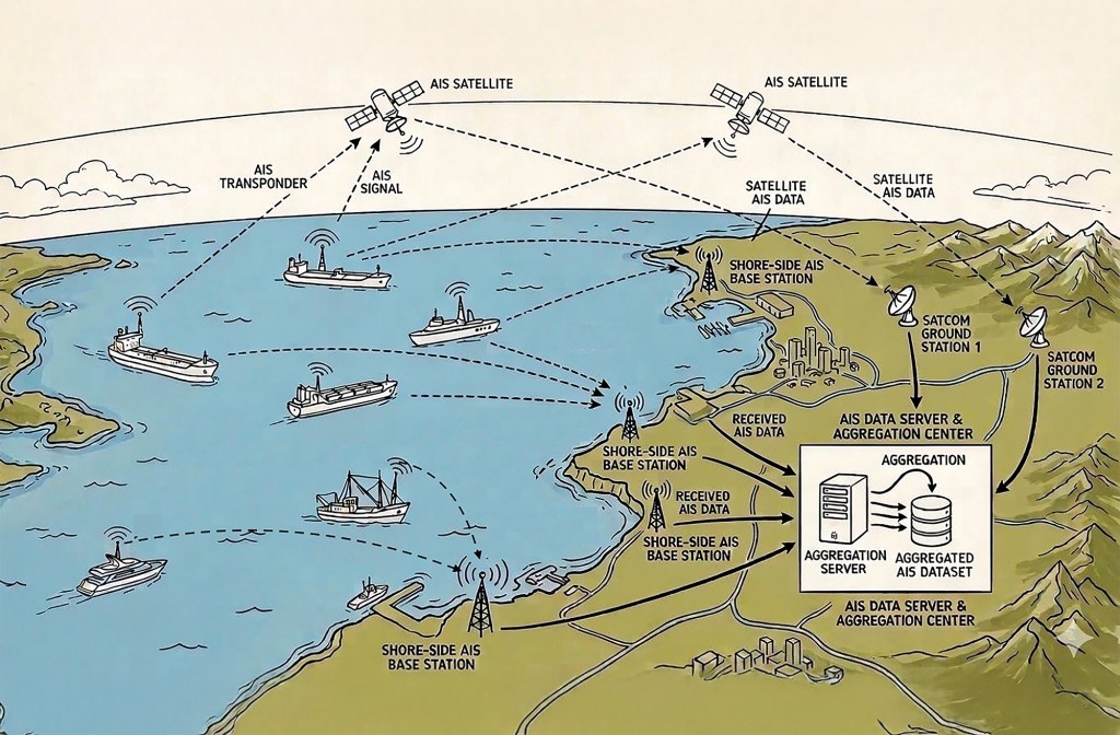
Understanding AIS

Good seamanship means using every available tool, but never relying on any one alone.

Three side-by-side screenshots from the Navionics app showing nautical charts of Hell Gate and Wards Island, contrasting a correct manually plotted water route on the left with two flawed AI-generated routes on the middle and right that erroneously plot course lines directly across land.

A Suspicious Plot

I used AI to chart a course through a notorious waterway. The results were unusable.

An exterior dusk photograph looking through the large side windows into the illuminated, warm cherrywood salon and helm area of a Sabre motor yacht as the sun sets over the water.

South by Down East

A brisk November run from Connecticut to New Jersey showcases just how comfortable the Sabre 51 Salon Express really is.

Advertisement
Advertisement