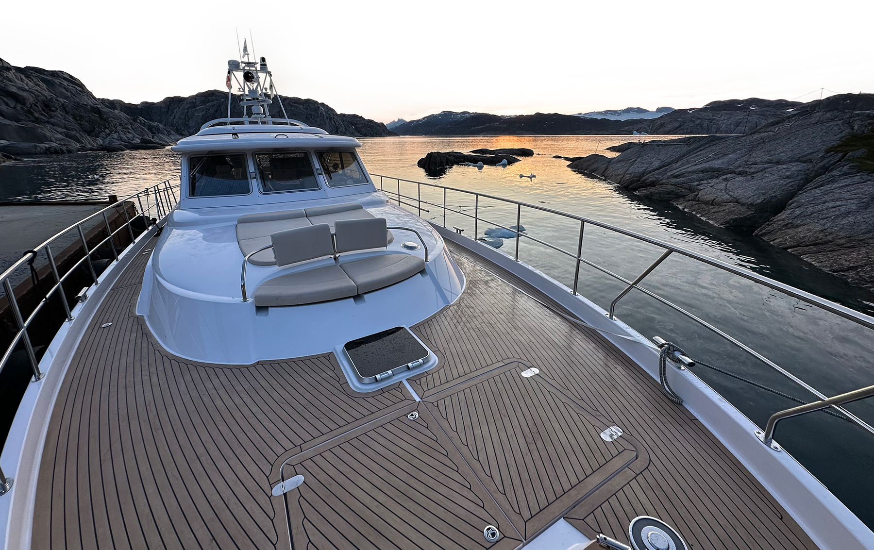
By Way of Greenland
Our 4,200-nautical-mile North Atlantic odyssey included becoming the first Elling E6 to cross the Atlantic on her own bottom.
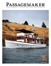


Our 4,200-nautical-mile North Atlantic odyssey included becoming the first Elling E6 to cross the Atlantic on her own bottom.
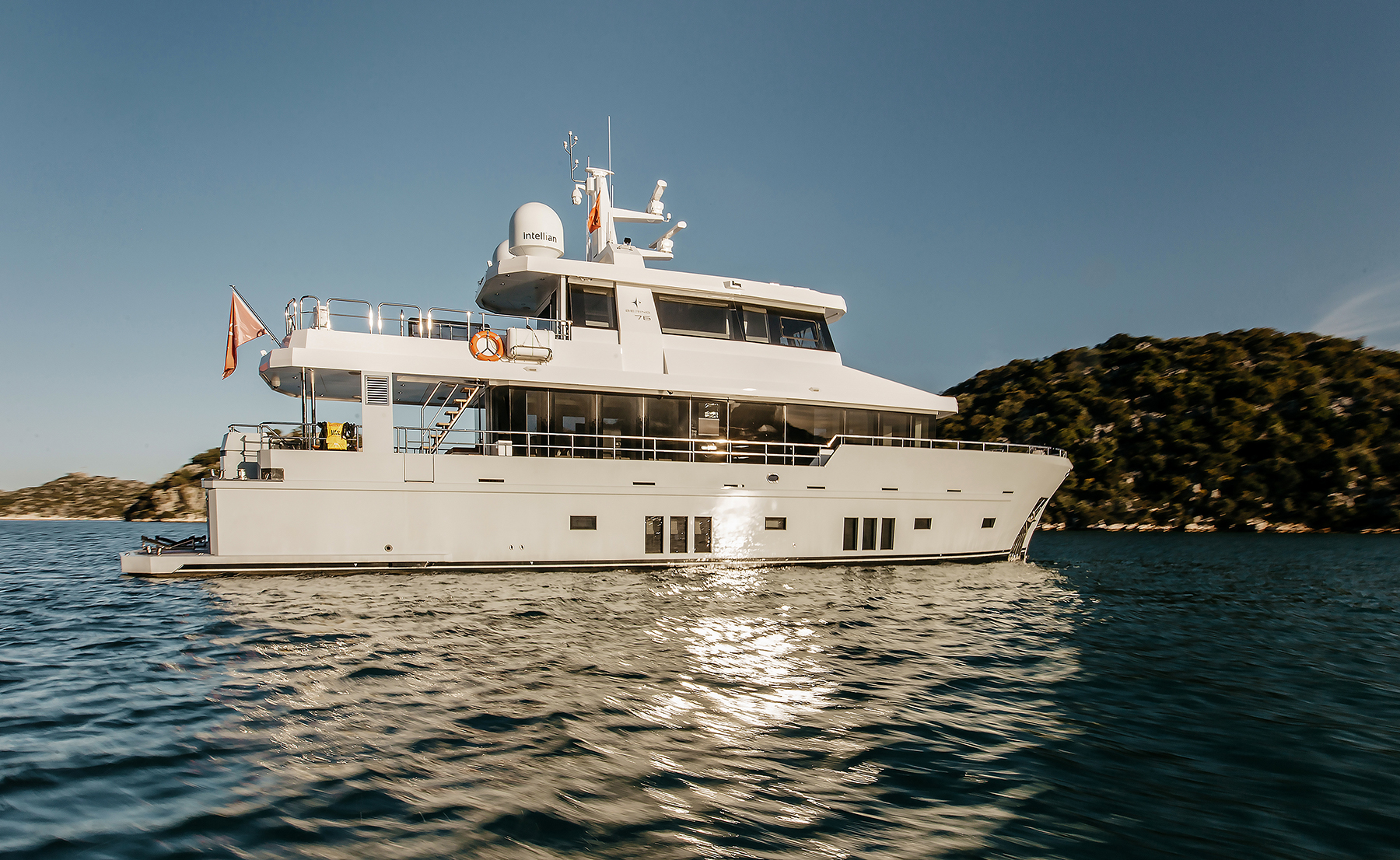
A shakedown cruise aboard Lemanjá, a new Bering 76, includes springtime in the Mediterranean, and summer in the high latitudes of Iceland and Greenland.
I’ve been on watch for about 45 minutes, scanning the displays for commercial traffic or any other signs of life, but all is quiet. I look out the forward-facing windows onto the ink-black night as a mellow following sea gives the 47-foot trawler gentle waves to surf down.
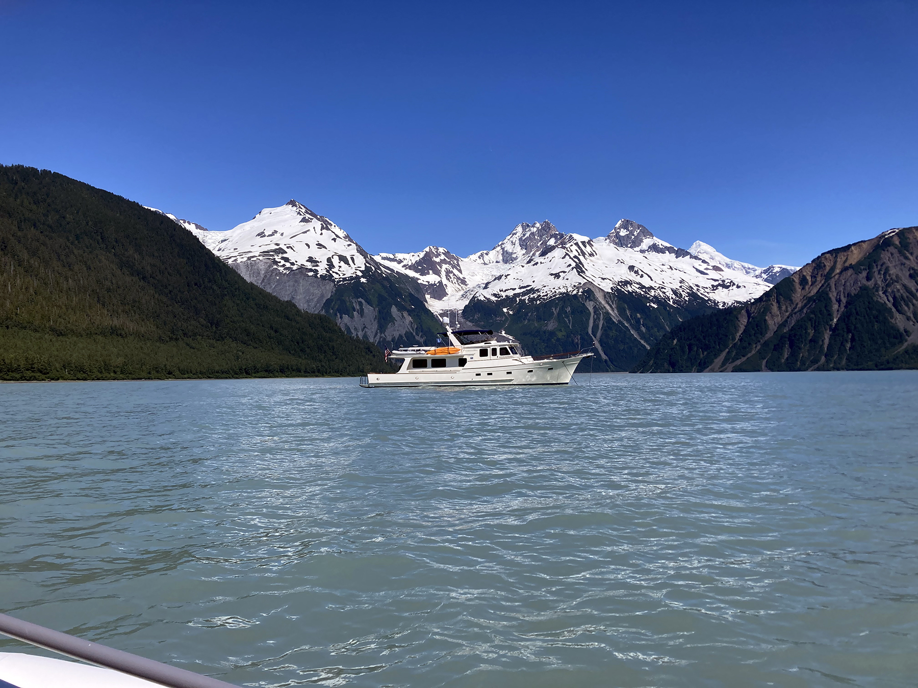
The founder of Fleming Yachts returns to Alaska on his well-traveled 65, surpassing 71,000 nautical miles under her keel.
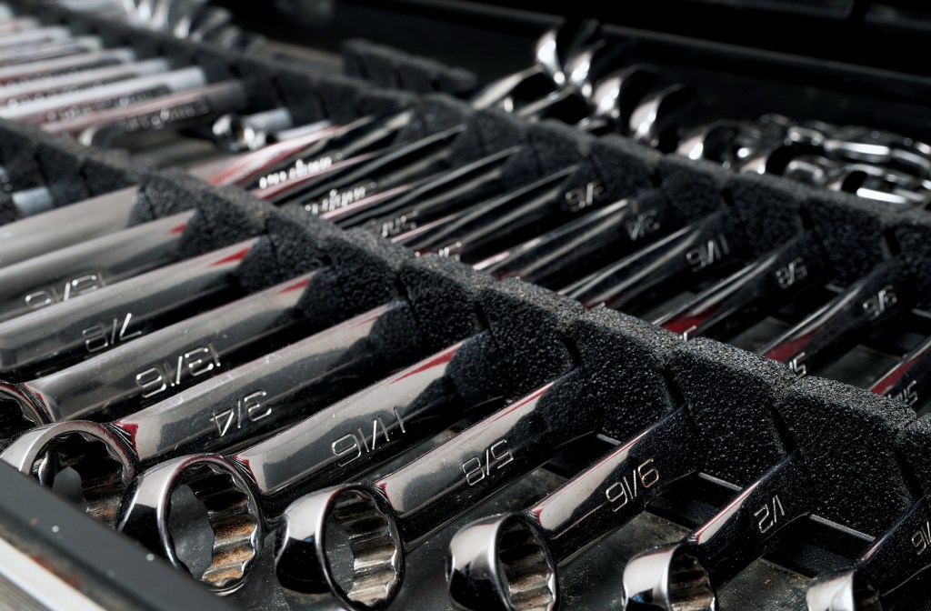
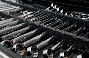
A traveling boat’s toolbox is never full. Try to equip yours to handle any issues that might arise.
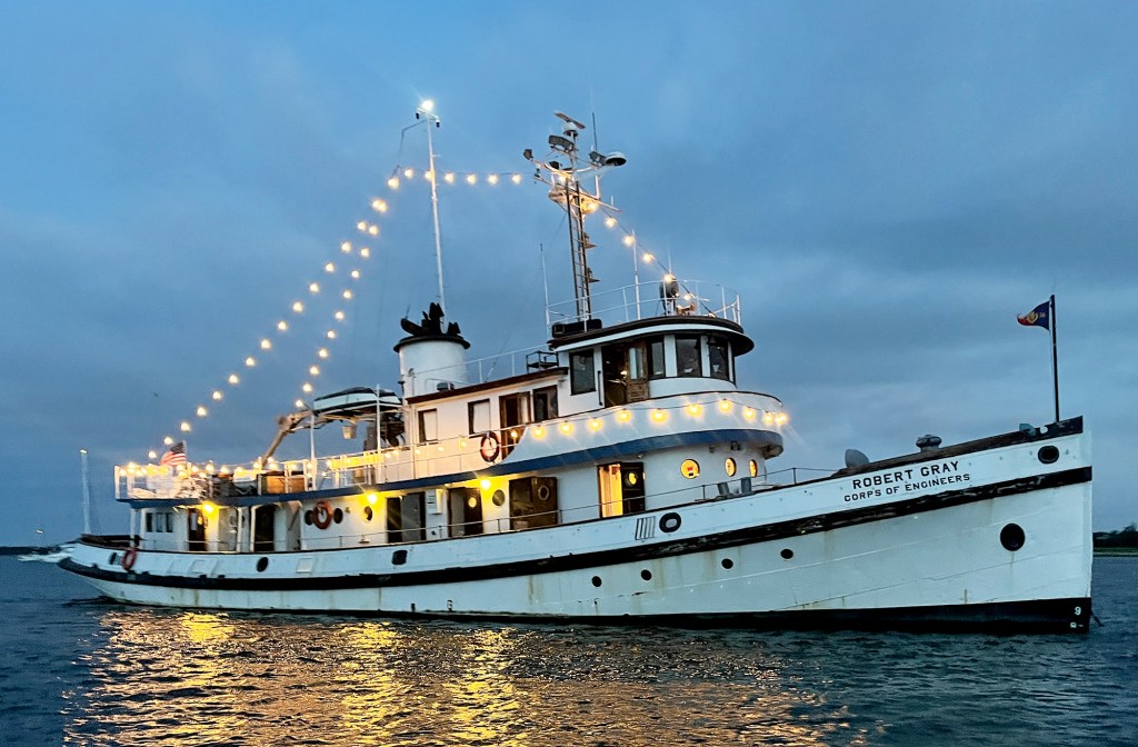
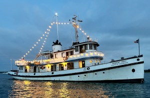
An adventure aboard a 90-year-old ship brings the past to life.
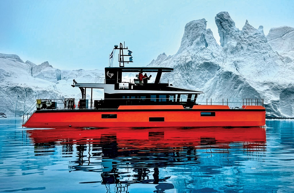
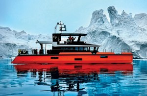
A small crew finds the adventure they wanted on a bucket-list journey to Greenland aboard a custom aluminum yacht.
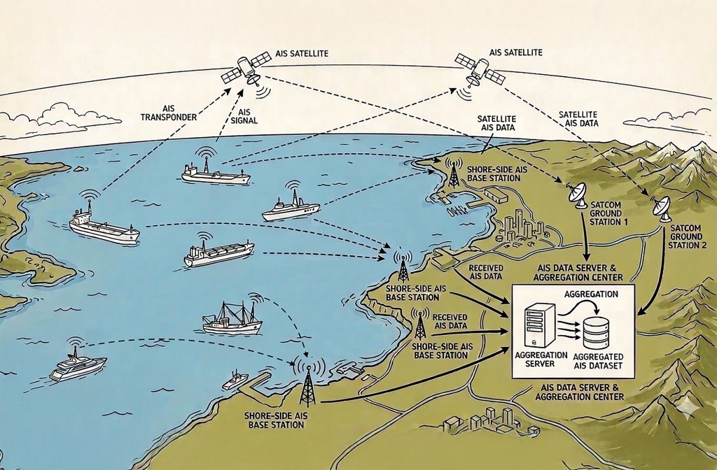
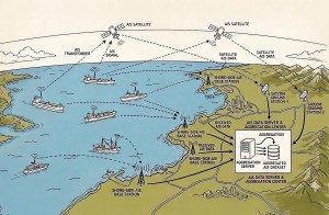
AIS networks are a mighty addition to any onboard suite of electronics. They have significant value, but also limitations.
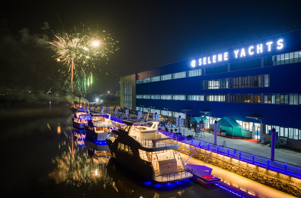
Video Podcast
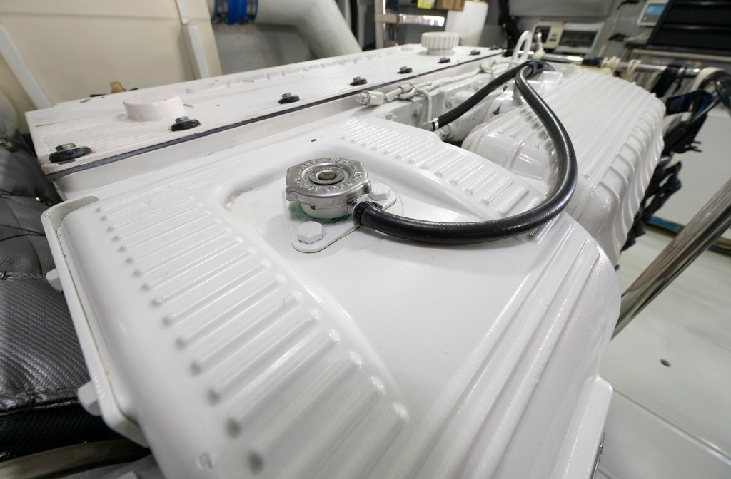
If you give your engine and generators regular love and attention, they won’t let you down.
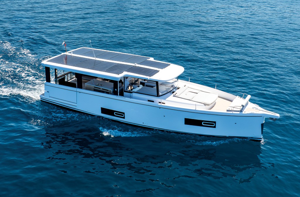
A loft-like open layout and a choice of power-train options let buyers choose their own adventure.
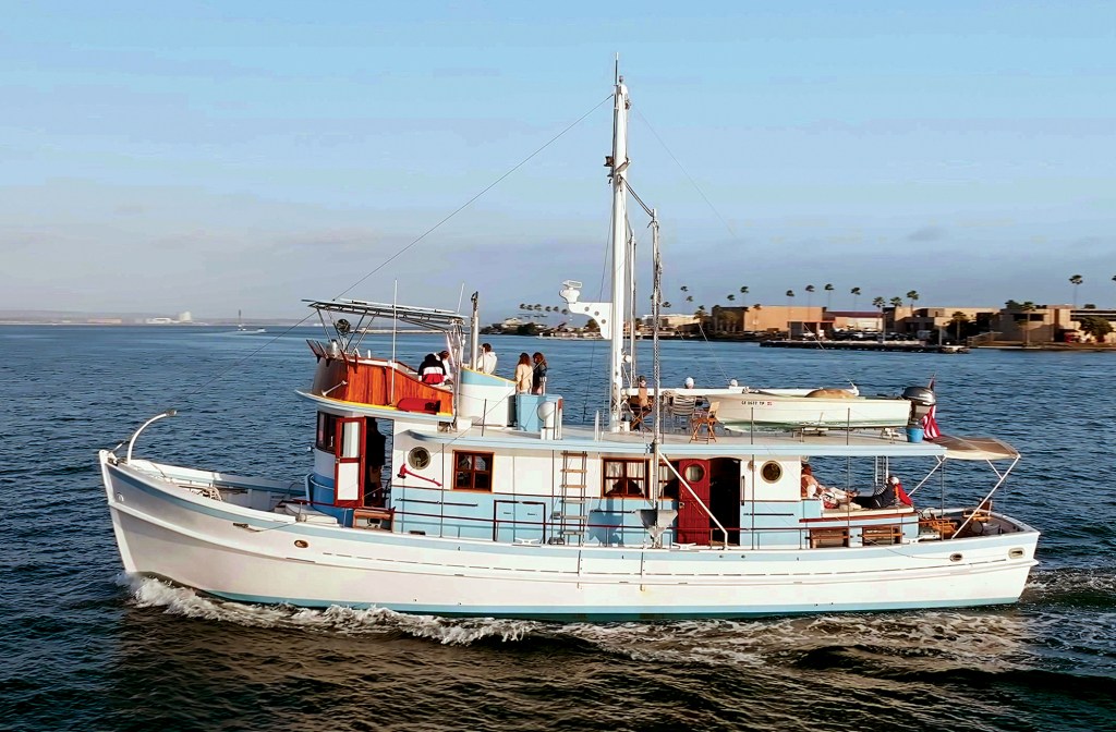
Dickie Walker stands proudly as a blend of rugged seaworthiness and luxury design.
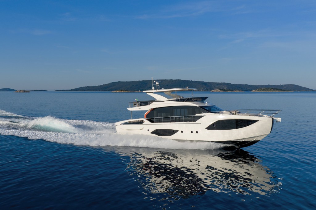
Twin 1,000-hp Volvo Penta D13s and 285 nautical miles of range give the new Absolute 70 Fly the room and speed to roam.
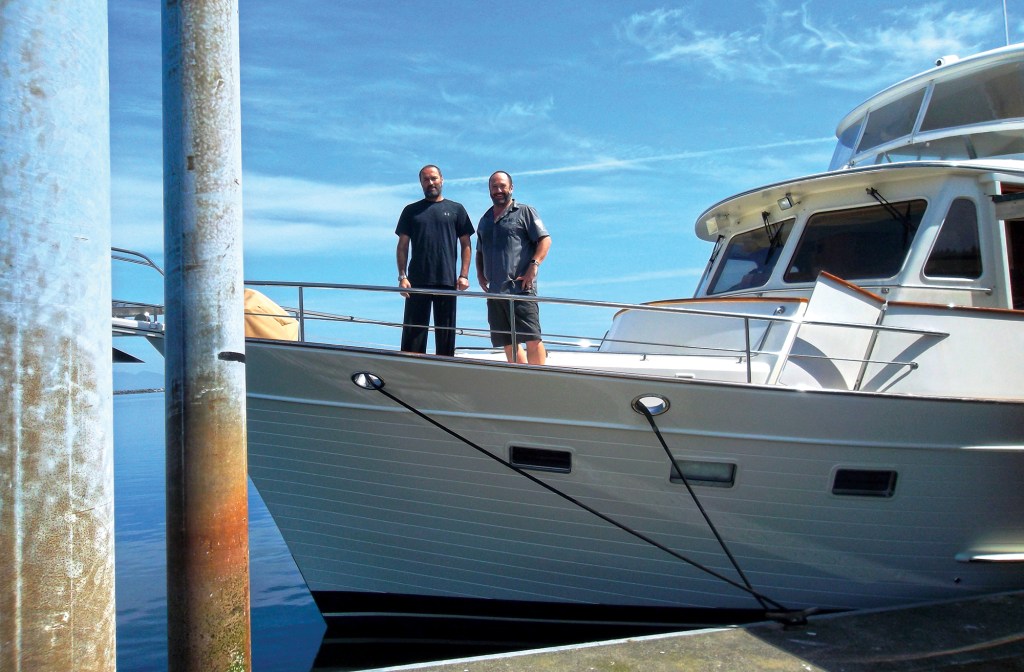
After more than 500,000 nautical miles as yacht delivery captains, Assen and Nikolay Alexandrov are still bringing boats home.