

Advertisement

OCENS

DeLorme inReach Gets Weather & Goes To Cuba (BLOG)

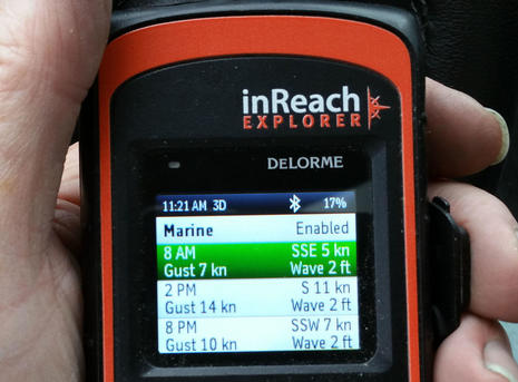
I’ve long felt that the DeLorme inReach is a valuable safety and communications tool for boats that sometimes go beyond reliable cellular (and/or VHF) contact with friends, families and rescue centers.
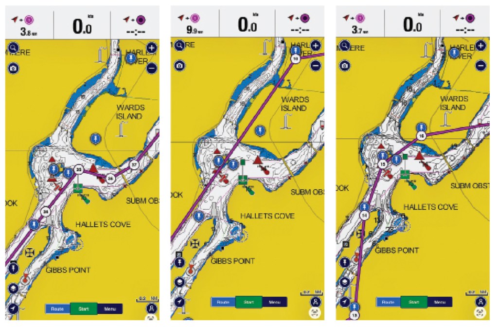
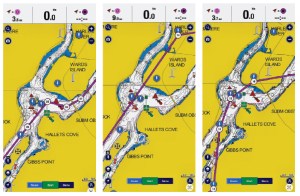
Three side-by-side screenshots from the Navionics app showing nautical charts of Hell Gate and Wards Island, contrasting a correct manually plotted water route on the left with two flawed AI-generated routes on the middle and right that erroneously plot course lines directly across land.

A Suspicious Plot

I used AI to chart a course through a notorious waterway. The results were unusable.

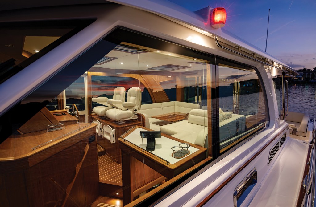
An exterior dusk photograph looking through the large side windows into the illuminated, warm cherrywood salon and helm area of a Sabre motor yacht as the sun sets over the water.

South by Down East

A brisk November run from Connecticut to New Jersey showcases just how comfortable the Sabre 51 Salon Express really is.

A scenic overhead view looking down a long, wooden floating dock at Princess Louisa Marine Provincial Park in British Columbia, with several powerboats and sailboats moored along it, surrounded by calm, dark fjord waters and towering, forested granite mountains under a partly cloudy sky.

A Thin Space

Cruisers face challenges getting to Princess Louisa Inlet, but it’s worth it to experience this cruising ground’s natural beauty.

Advertisement
Advertisement