Tortugas Bound: Exploring Florida’s Last Piece of Wilderness
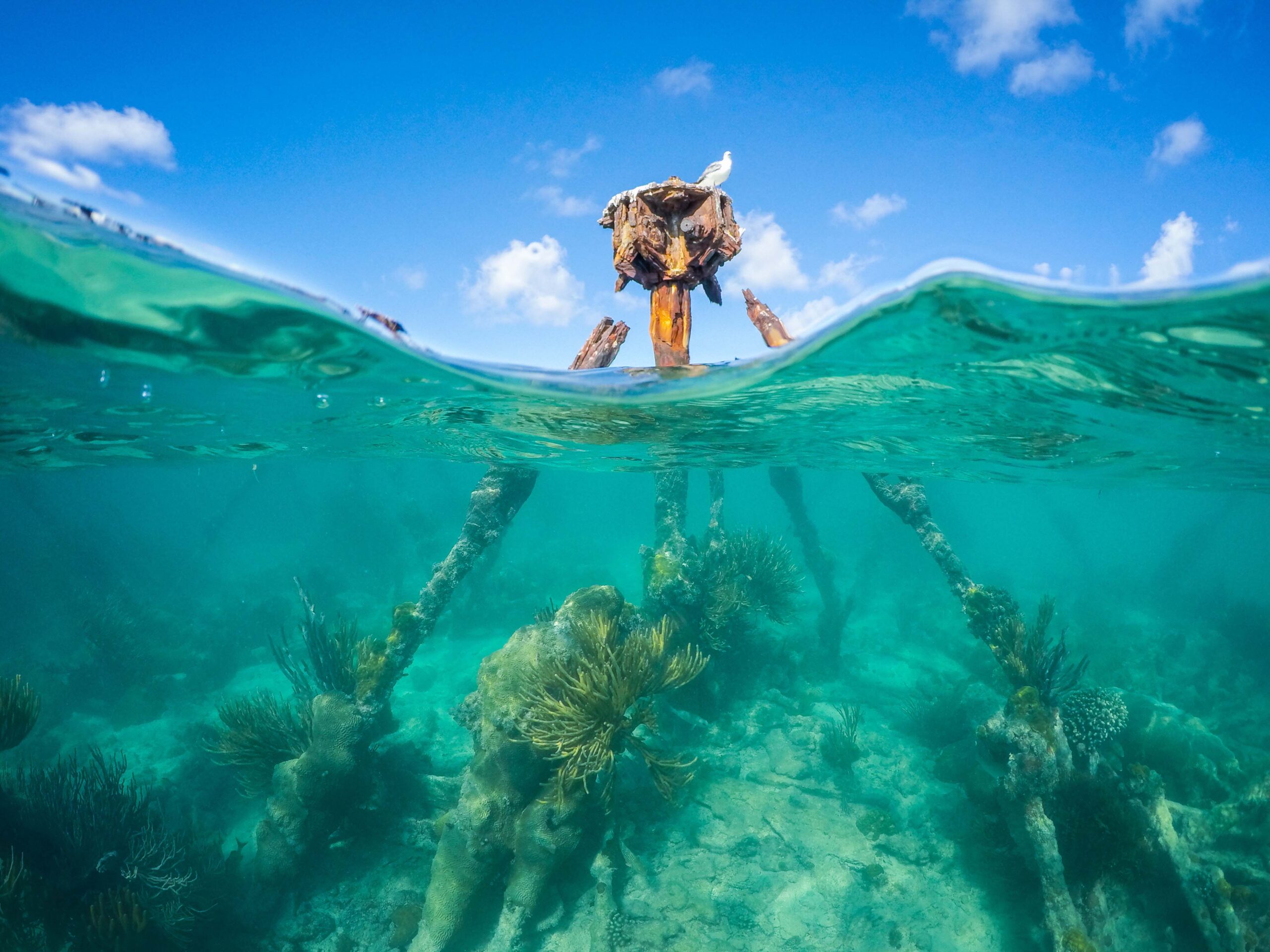
For the best snorkeling in the US, plus a great old fort, look no further than the Dry Tortugas.


For the best snorkeling in the US, plus a great old fort, look no further than the Dry Tortugas.
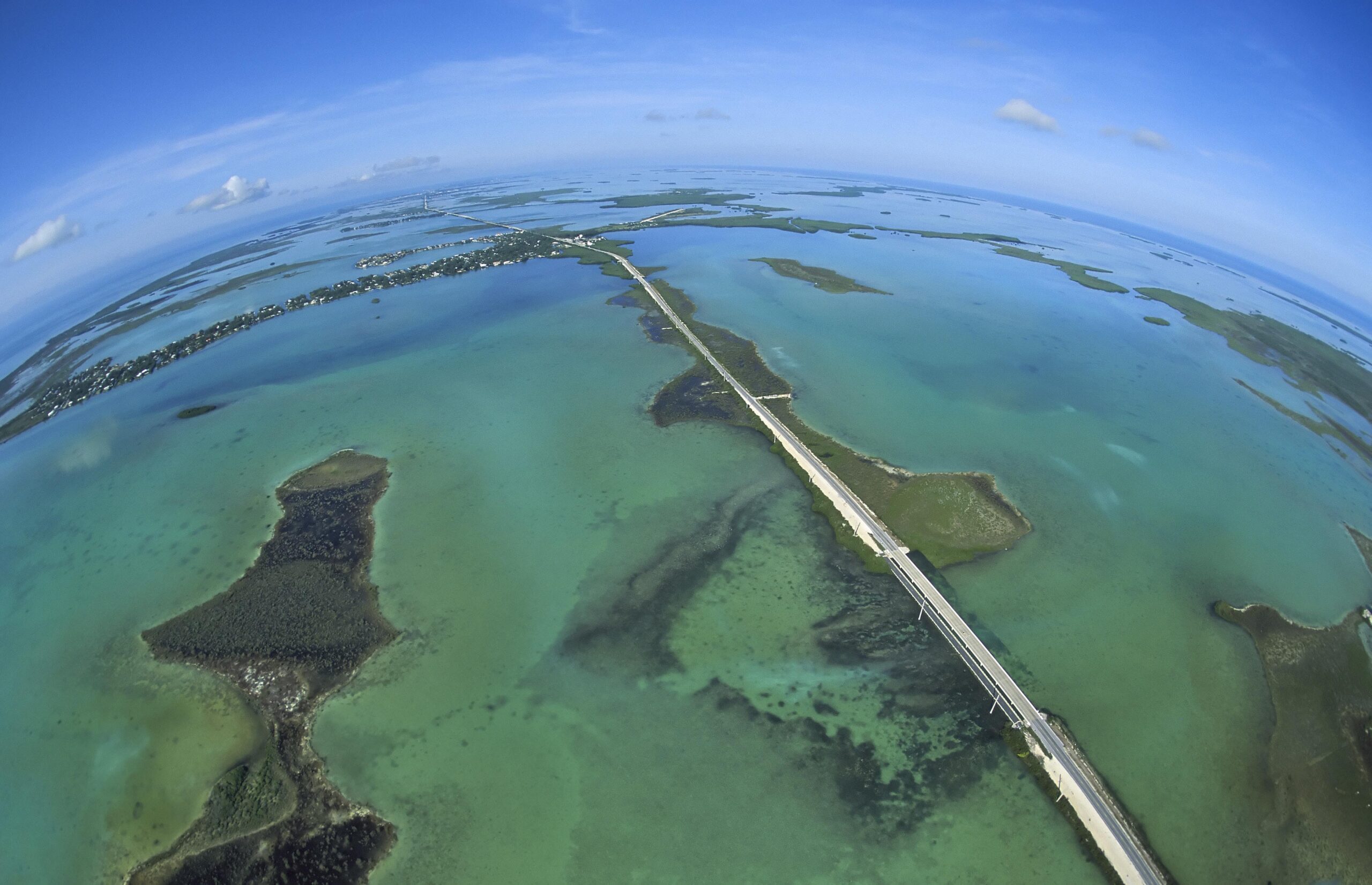
You can spend months exploring these approximately 800 islets. Some boaters are so enchanted, they never leave.
Plans Include Marina on North Side
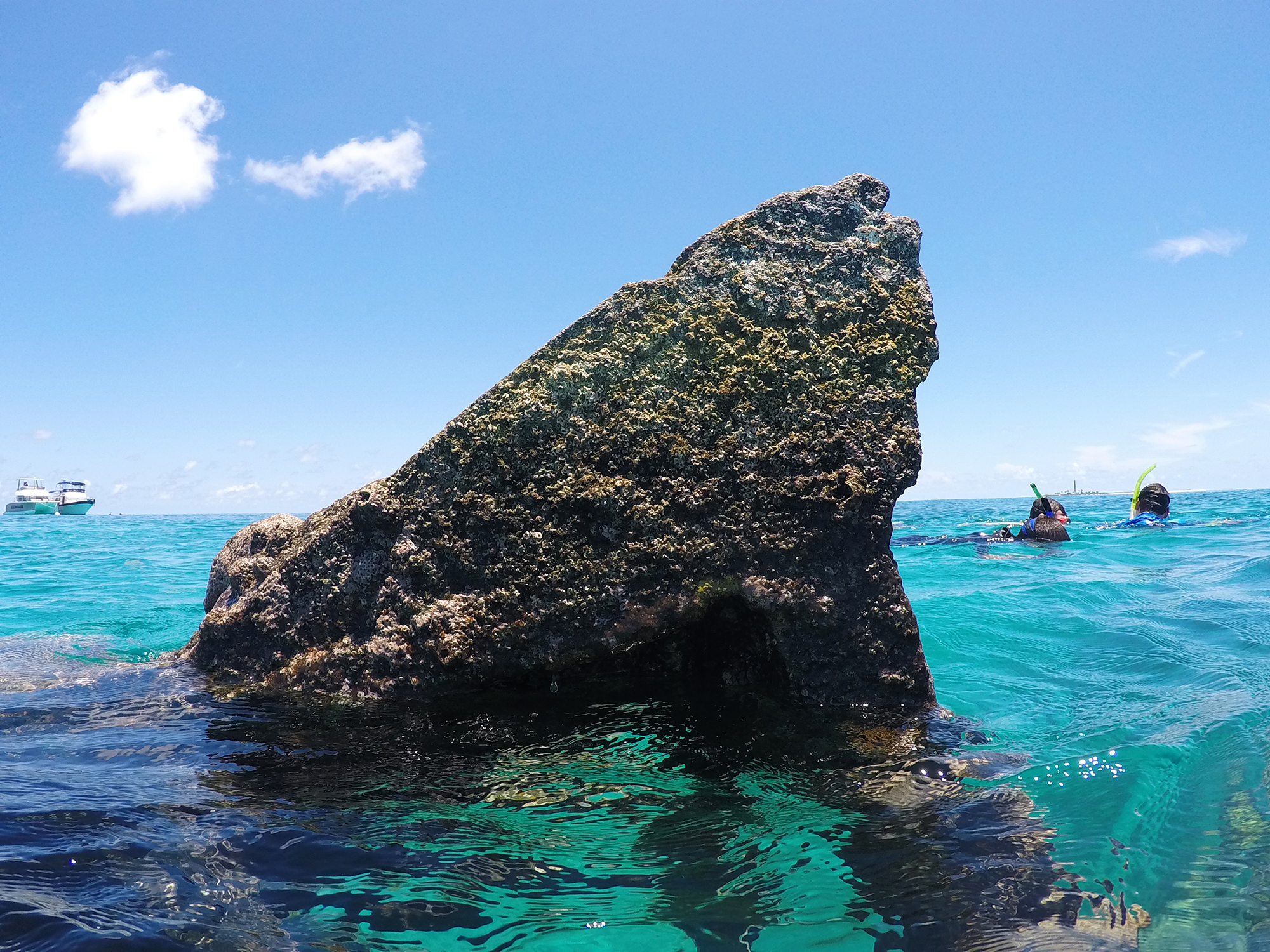
The Dry Torugas with its shallow waters, combined with increasing traffic, strong currents, and numerous hurricanes, became known as a “ship trap.”
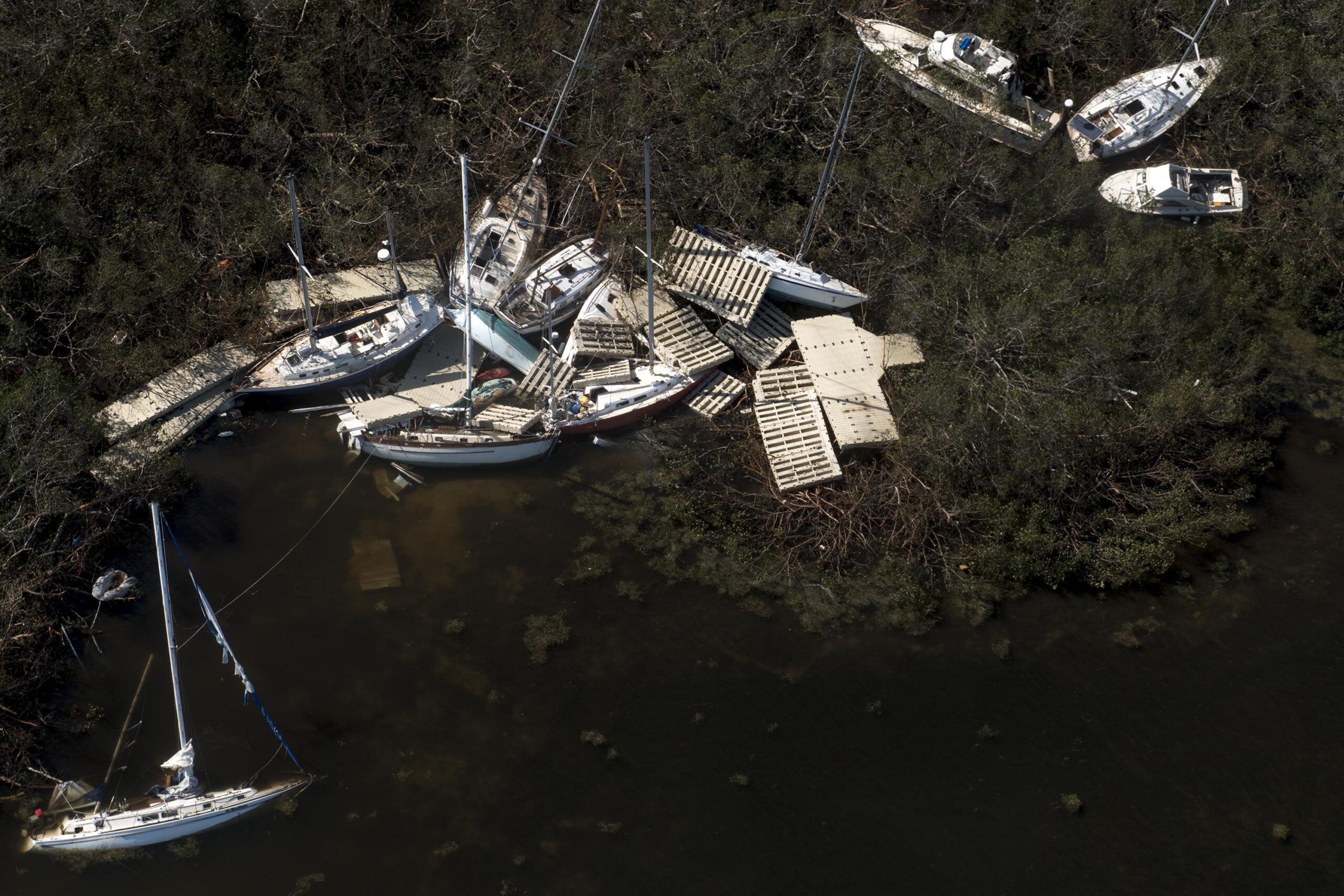
Hurricane Irma Clean-Up Continues
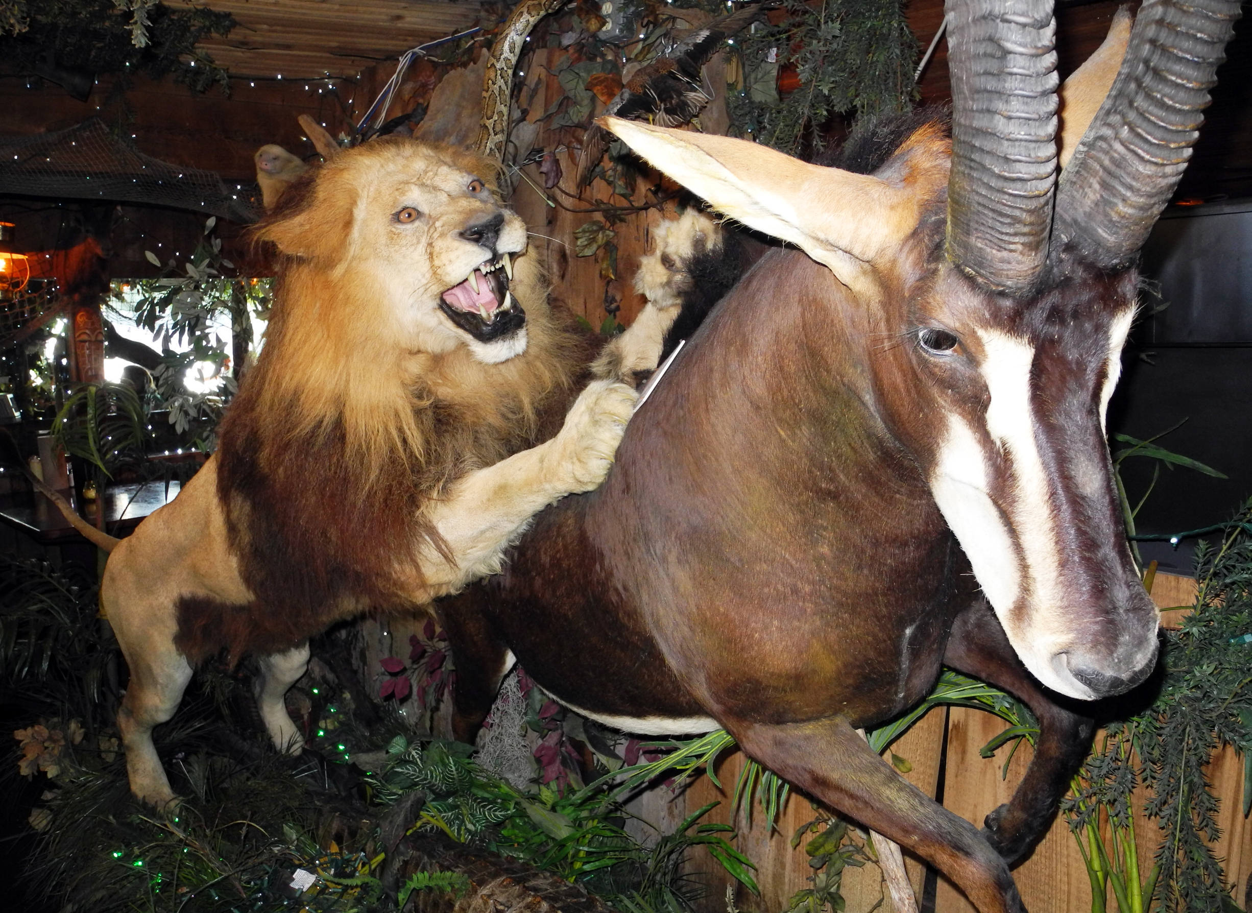
Clark’s Fish Camp Is a Taxidermy Marvel (Blog & Gallery)
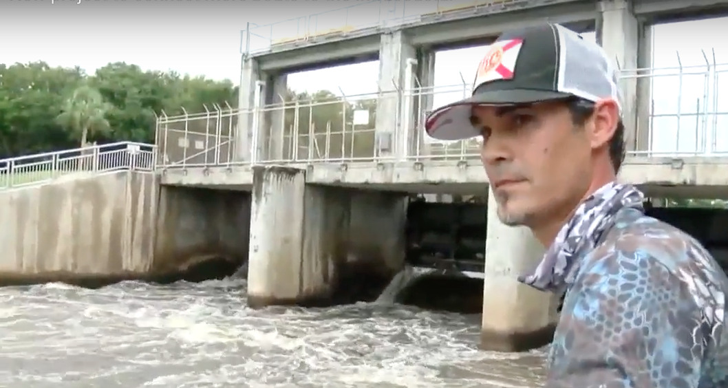
Lift Would Carry Small Boats Over Spillway Shown Here

When city leaders cracked down on Spring Break back in 1985, it wasn’t that they wanted students to stay away forever. Come back, they said,
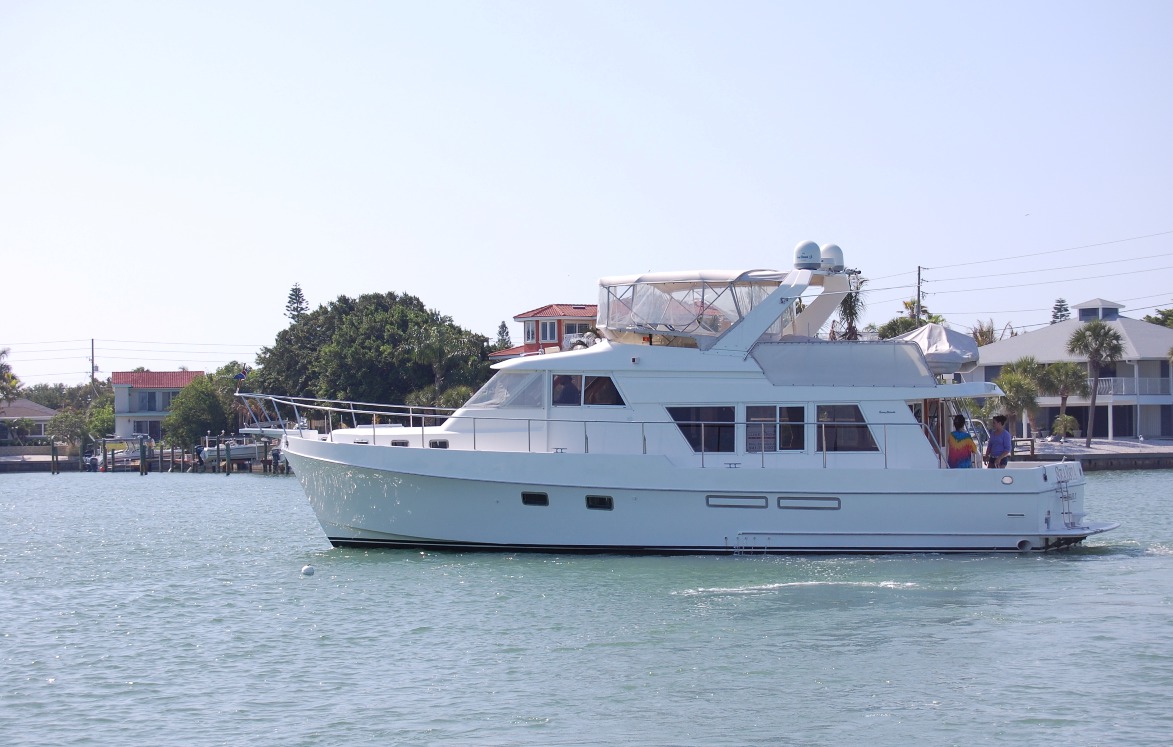
The BP oil spill made this a sad year for Gulf Coast inhabitants. Although no oil came ashore anywhere near my hometown region of Tampa
We were headed south to the Keys for the winter when we got the call. “We’ve bought the boat,” Deb said, almost like she couldn’t
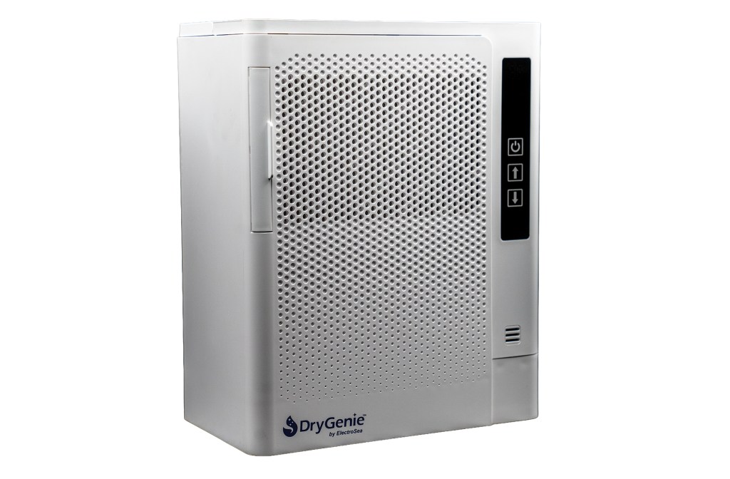
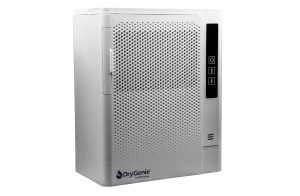
Compact Dehumidifier for Boats
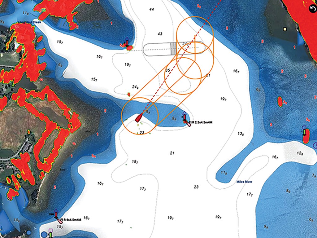
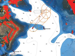
Groundings often happen in the places we think we know. These are the reasons why.
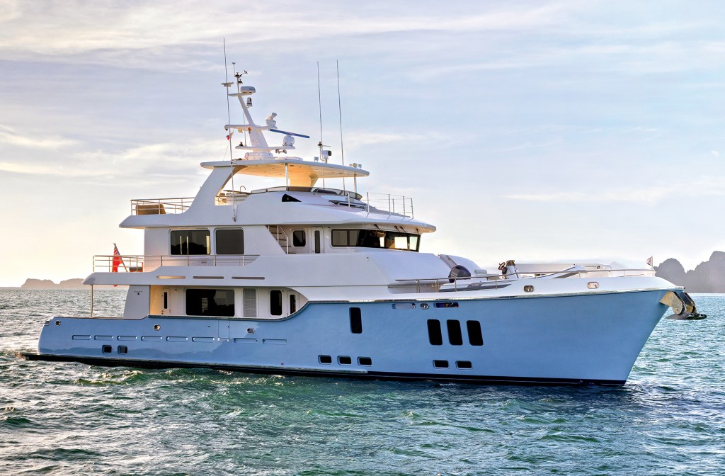
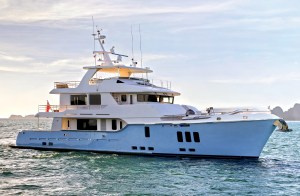
This world-cruising expedition yacht is the result of an evolution that began in 2008 with the first Nordhavn 86.
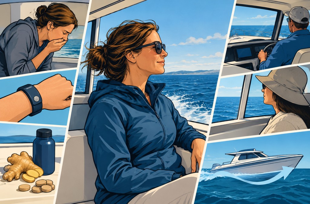
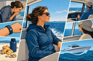
Feeling queasy on the water happens to all of us. Here’s how to identify the early signs and counter them.
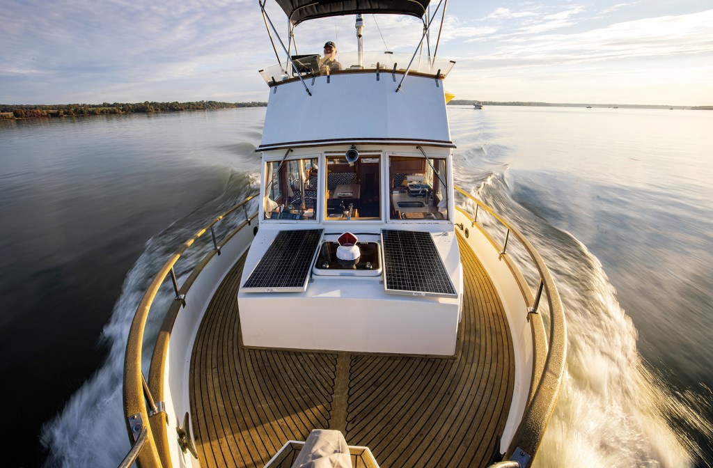
Conversations with the legendary lensman Onne van der Wal.
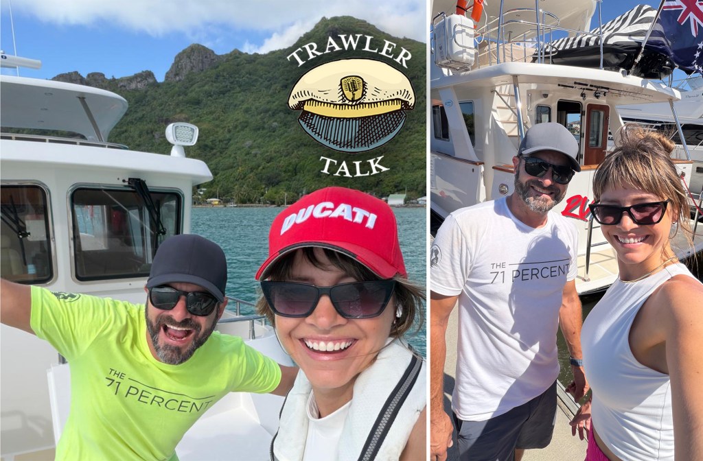
Nathan and Lindsay of the 71 Percent—the can’t stop, won’t stop power cruisers—completed a “wrong way” crossing of the Pacific Ocean.
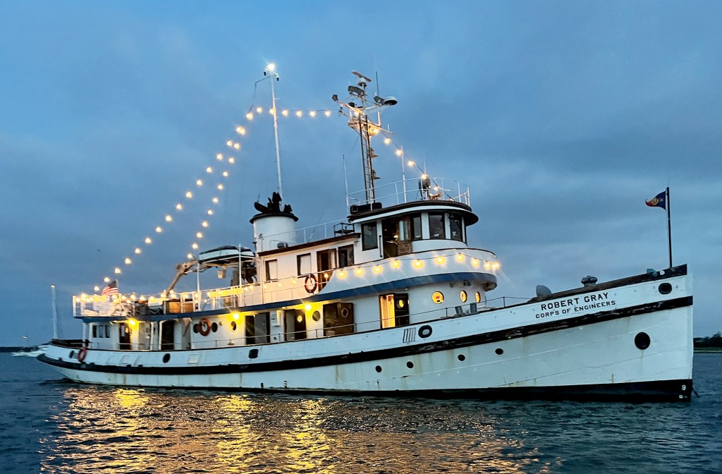
An adventure aboard a 90-year-old ship brings the past to life.
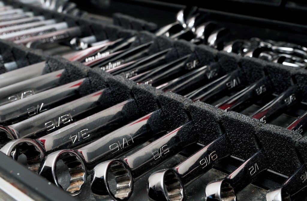
A traveling boat’s toolbox is never full. Try to equip yours to handle any issues that might arise.
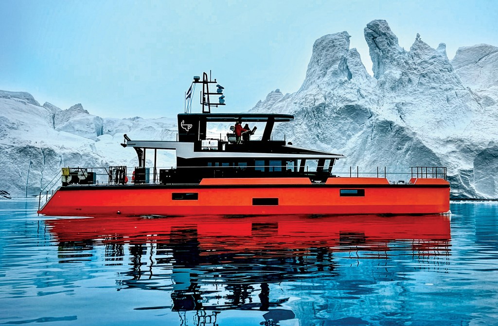
A small crew finds the adventure they wanted on a bucket-list journey to Greenland aboard a custom aluminum yacht.
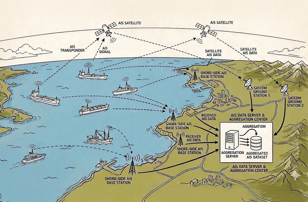
AIS networks are a mighty addition to any onboard suite of electronics. They have significant value, but also limitations.