Tide and Currents
Consulting tide charts for safe arrival and departure is good practice, but tidal currents need to be considered as well.
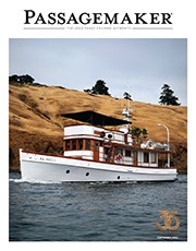


Consulting tide charts for safe arrival and departure is good practice, but tidal currents need to be considered as well.

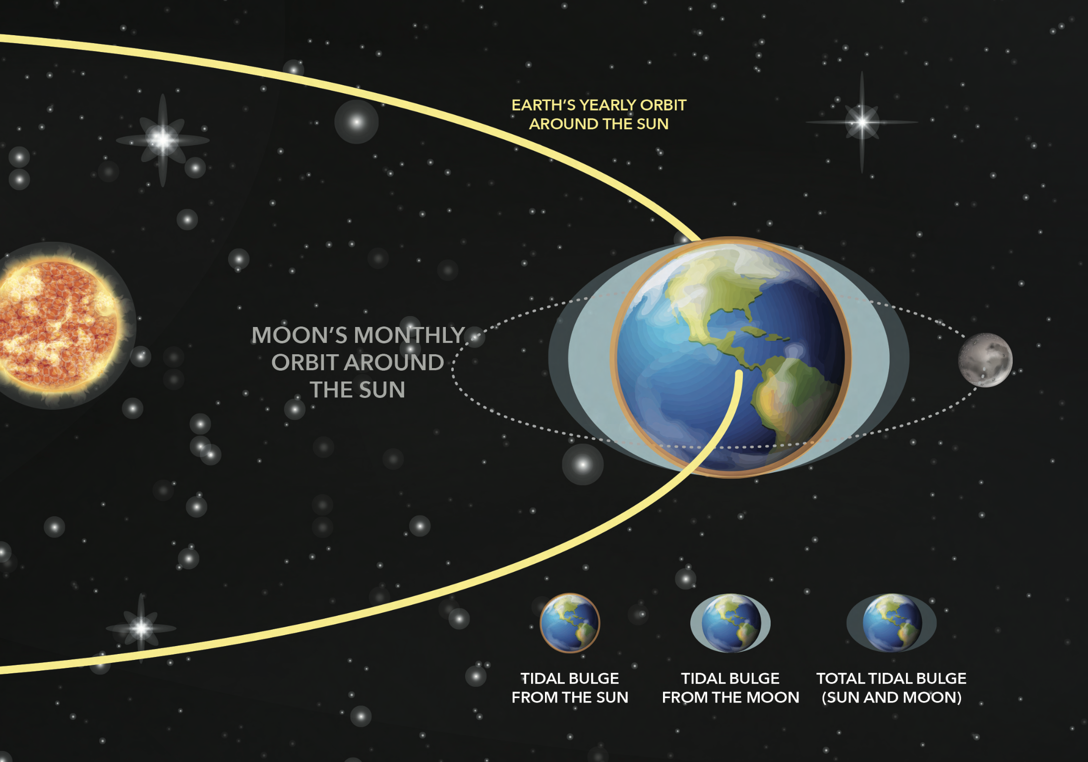
he better we intrinsically understand tides and tidal currents in the areas we navigate, the better we can anticipate which charted hazards are actually hazardous to us, and which are merely interesting.
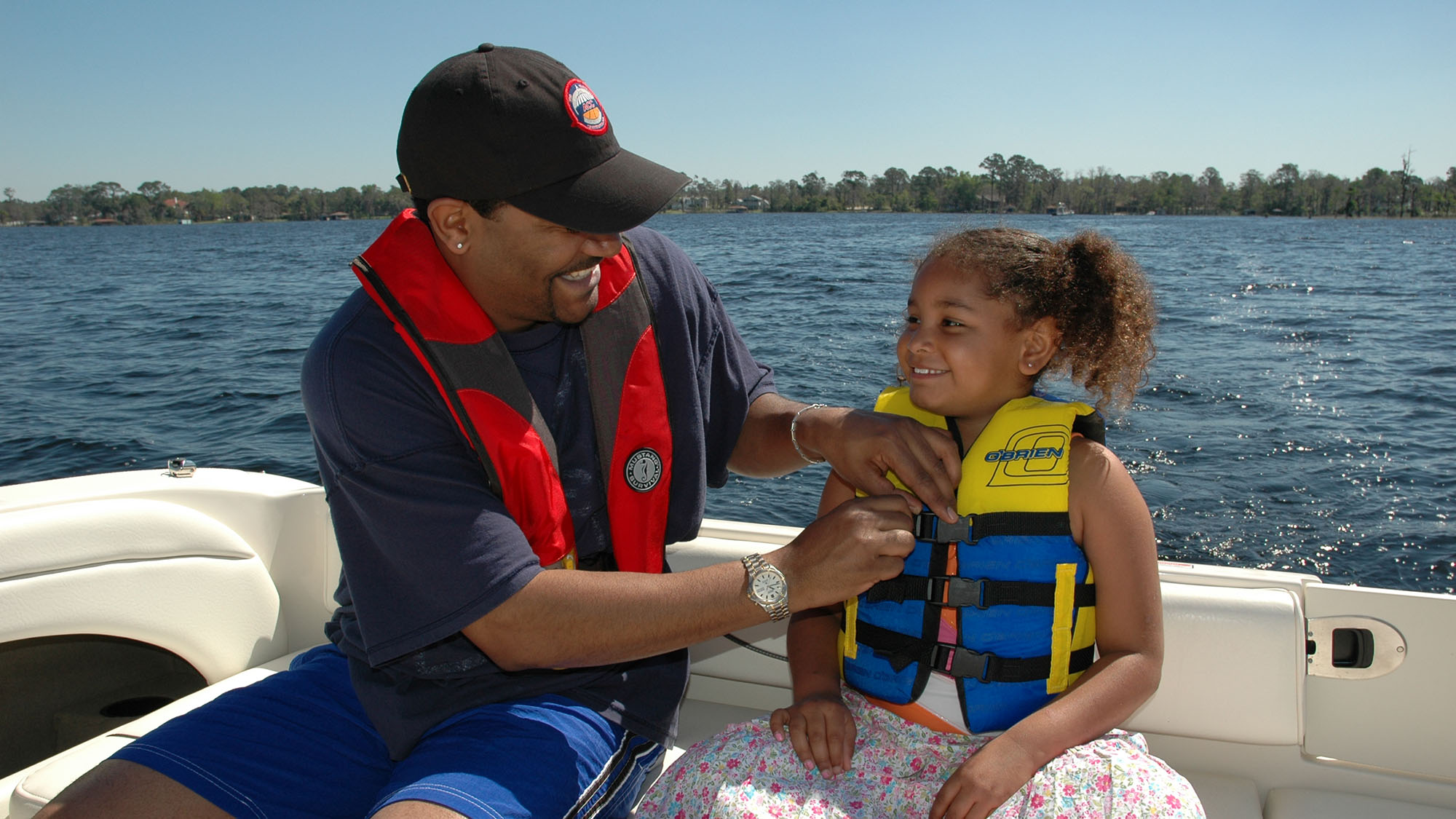
A look at the physics behind our tides and why it matters for the everyday seafarer.
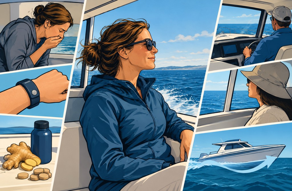
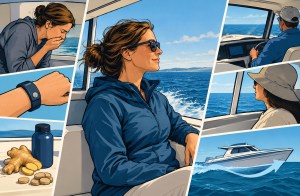
Feeling queasy on the water happens to all of us. Here’s how to identify the early signs and counter them.
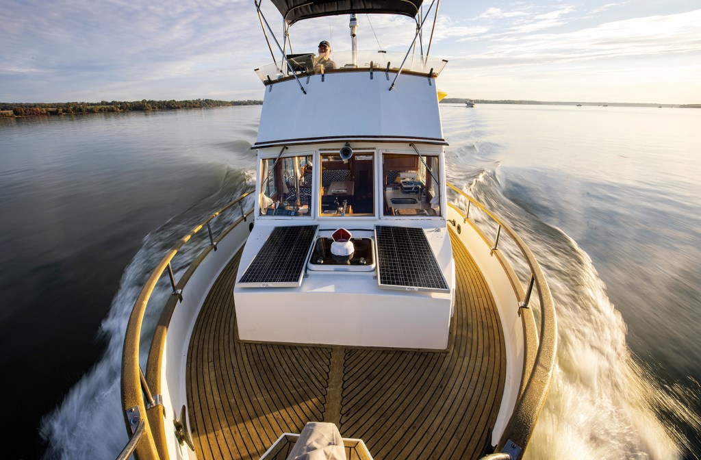
Conversations with the legendary lensman Onne van der Wal.

Nathan and Lindsay of the 71 Percent—the can’t stop, won’t stop power cruisers—completed a “wrong way” crossing of the Pacific Ocean.
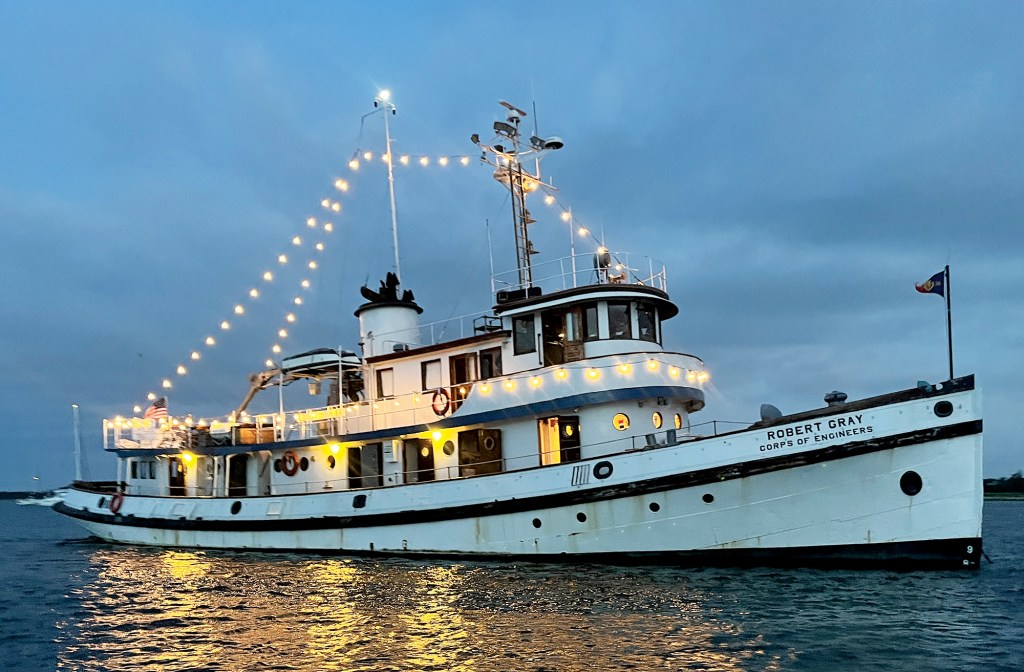
An adventure aboard a 90-year-old ship brings the past to life.

A traveling boat’s toolbox is never full. Try to equip yours to handle any issues that might arise.
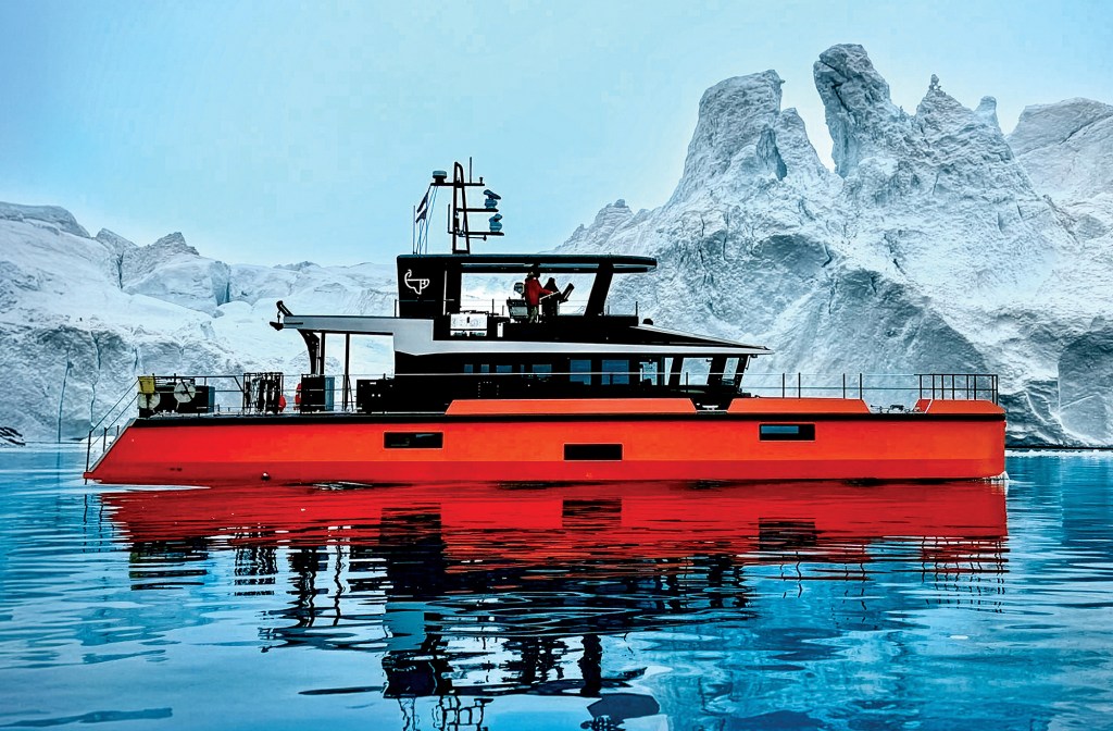
A small crew finds the adventure they wanted on a bucket-list journey to Greenland aboard a custom aluminum yacht.
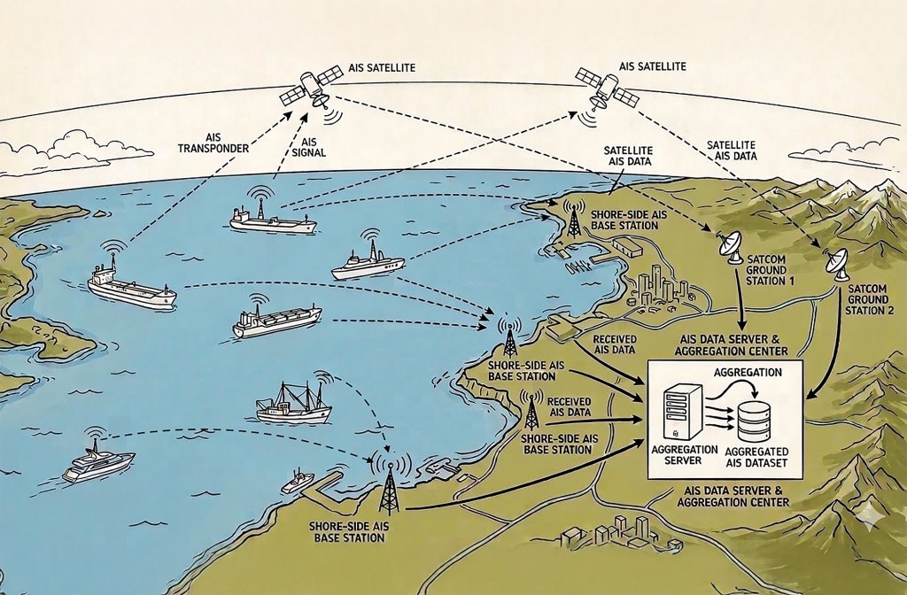
AIS networks are a mighty addition to any onboard suite of electronics. They have significant value, but also limitations.

Video Podcast
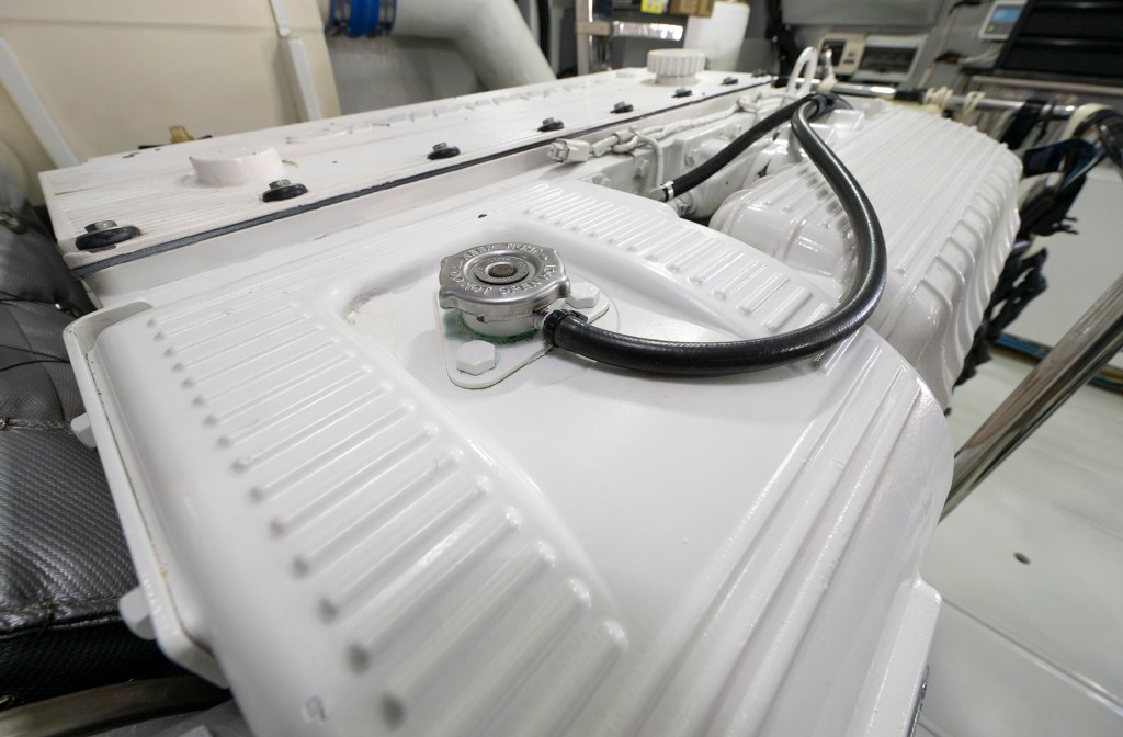
If you give your engine and generators regular love and attention, they won’t let you down.
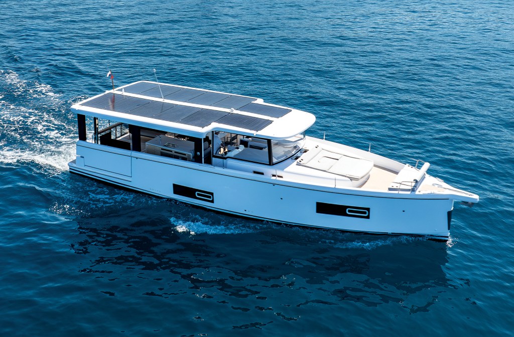
A loft-like open layout and a choice of power-train options let buyers choose their own adventure.