Photos by Katie Rouner and Mark Tilden
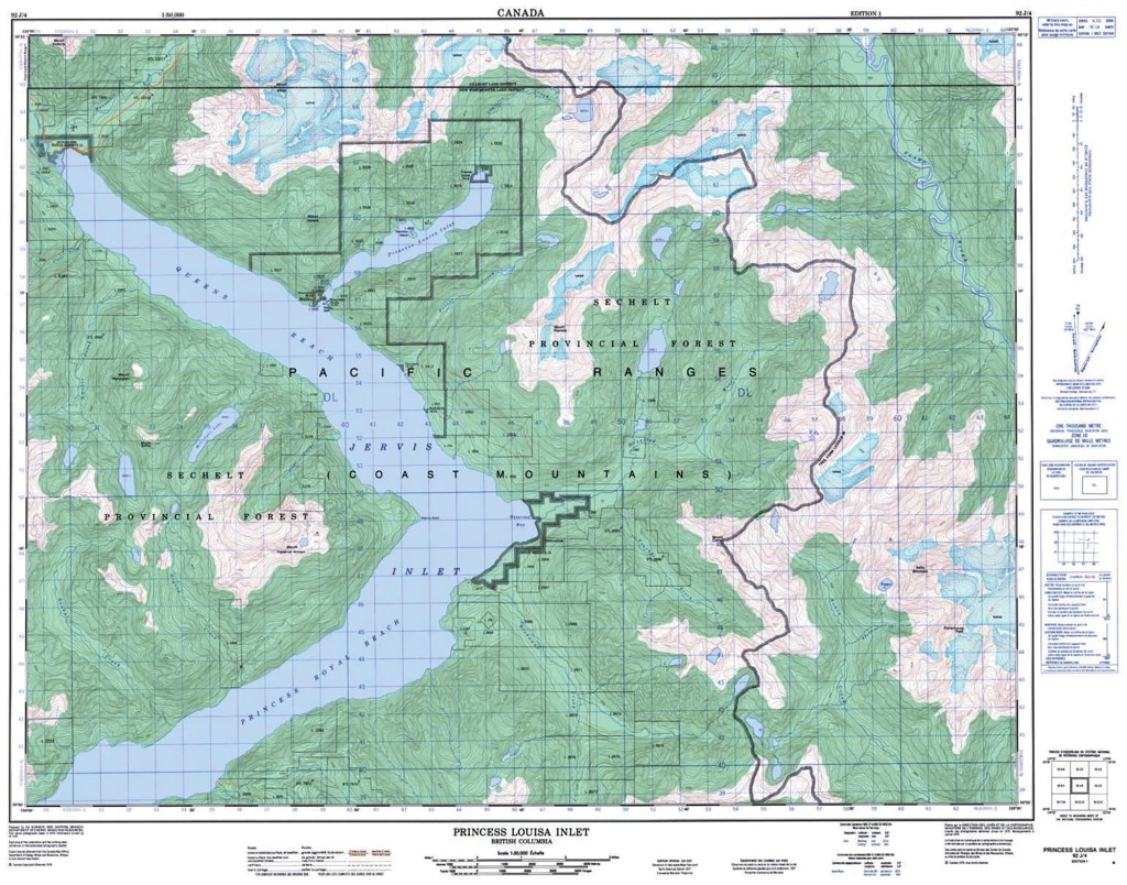
A thin space is a place or time where the veil between the physical world and the spiritual world seems to be permeable, where a divine presence is more clearly felt. That is an apt description of what I think is among the most beautiful places on earth: Princess Louisa Inlet on the coast of British Columbia, Canada, about 100 miles north of Vancouver.
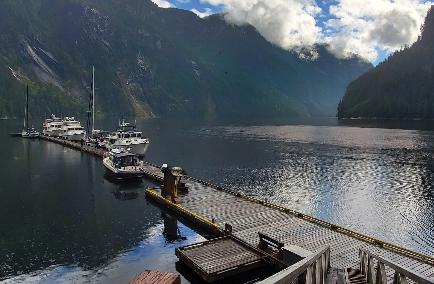
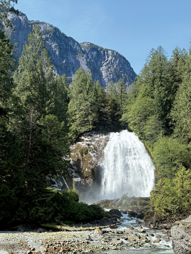
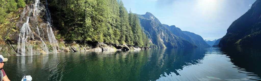
Princess Louisa Inlet is a glacially carved fjord. Sheer granite cliffs tower over 7,000 feet. This place has been called “the Grand Canyon of the North” for its dramatic scenery. In the spring and early summer, more than 60 waterfalls, fed by melting snow, cascade over the rims of the cliffs. At the head of the fjord is the majestic, roaring Chatterbox Falls that is active all year.
The tidal Malibu Rapids guard the entrance to this paradise. Tides in the inlet can vary as much as 30 feet, and the enormous volume of water required to fill or empty the 5-mile-long fjord is forced through a winding, rocky passage that narrows to about 150 feet wide. As a result, whitewater rapids with whirlpools, standing waves and up to a 9-knot current make Malibu Rapids nearly impassible for most of the tide cycle. The only safe time to transit is a few minutes around the tidal change, when the current is reversing direction. Fortunately, with semidiurnal tides, these brief slack-water periods occur four times each day at relatively predictable intervals.
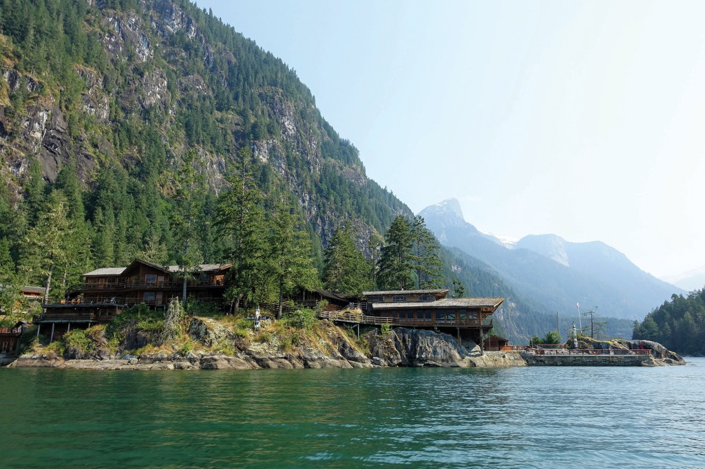
The only civilization around Princess Louisa Inlet (apart from the town of Egmont, about 30 miles away) is a beautifully maintained resort camp that the Christian youth ministry Young Life owns. The resort was originally built as an exclusive retreat in the 1940s. John Wayne, John F. Kennedy and Walt Disney visited the resort in those early years. However, a combination of limited access and high operating costs made the resort unprofitable. A polio scare in 1950 abruptly closed the camp; the facility was abandoned with food still on the stove and yachts still tied to the dock. A few years later, Young Life bought the now-priceless property for $300,000.
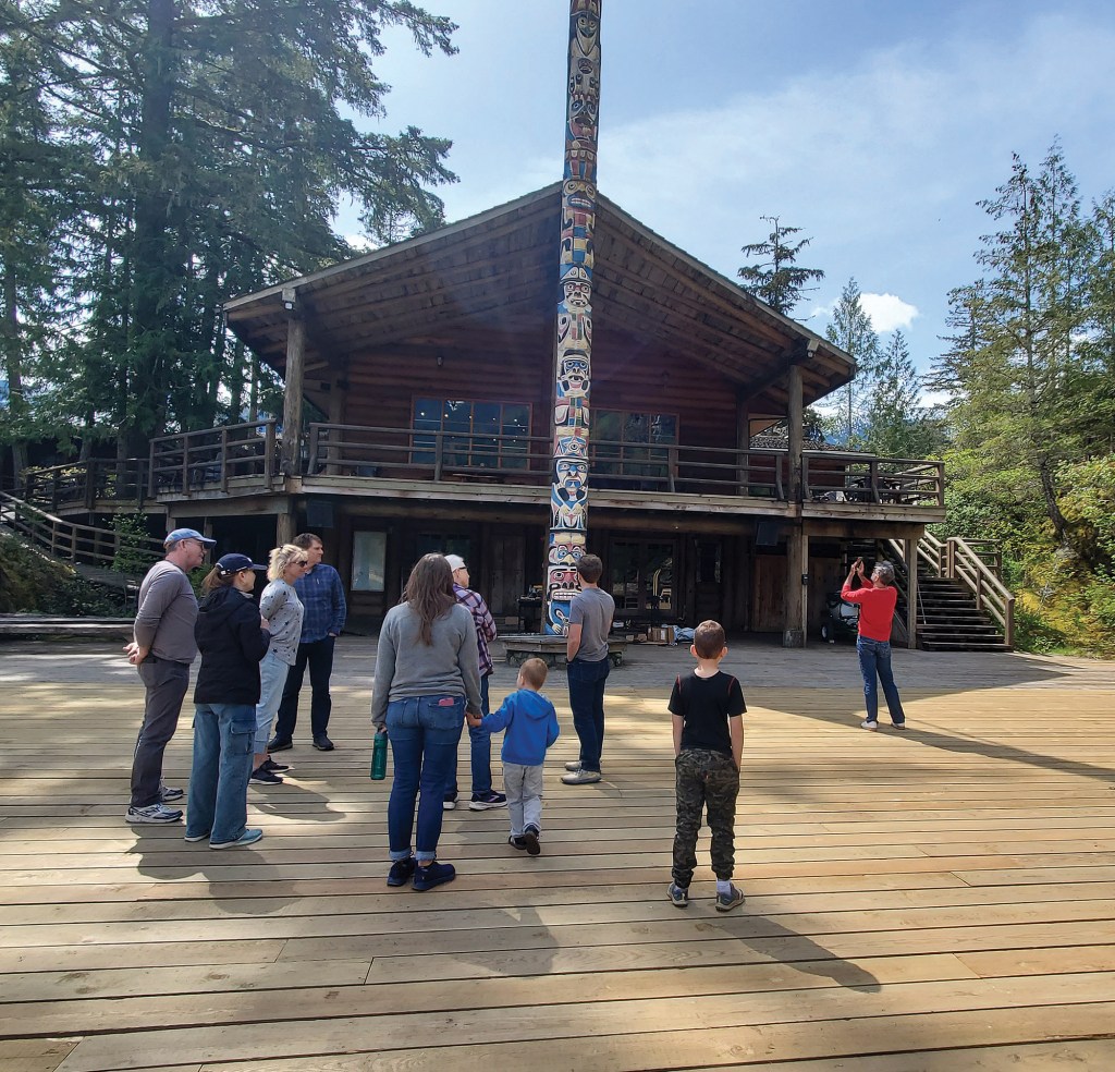
From June through August, Young Life brings thousands of high school students in by boat from Egmont for a weeklong camp experience. Other groups rent the facility in the off-season. A few of the original buildings remain, and all the buildings are constructed in a heavy-timber style that blends into the surrounding country.
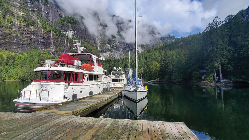
While the inlet is open for visitors year-round, we prefer to visit Princess Louisa in the spring or fall shoulder seasons, before the camp is in full swing and before the tour boats and float planes start their daily runs. In April or May, there’s almost always space on the 650-foot BC Parks dock near Chatterbox Falls. Several mooring buoys near the dock are suitable for boats up to 70 feet. Most of the inlet is too deep to anchor, however, limited anchorage is available on the silt shelf near the base of Chatterbox Falls, and farther up in the inlet around MacDonald Island.
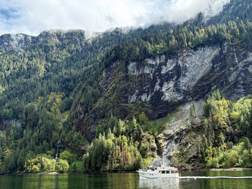
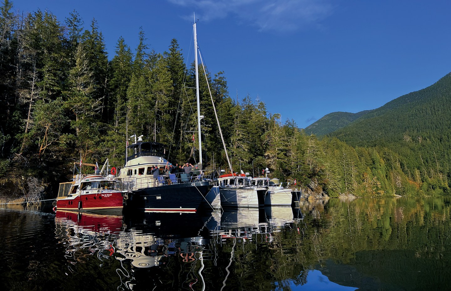
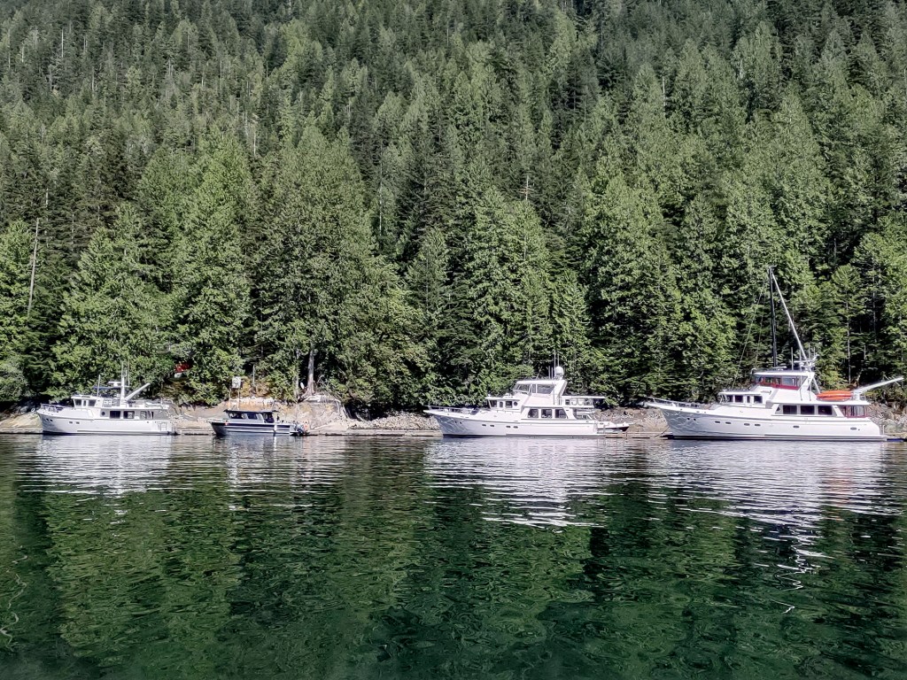
This past spring, a group of three Selenes, along with a smaller boat owned by my daughter and son-in-law, left our annual rendezvous in the San Juan Islands in April and headed up to Princess Louisa for a couple days. From Roche Harbor on San Juan Island, we crossed the border into Canada, clearing customs at Sidney. Then we headed north through the Gulf Islands to Nanaimo on Vancouver Island, a good jumping-off spot for crossing the Strait of Georgia that separates Vancouver Island from the mainland of Canada.
It can be treacherous with strong wind and steep chop at any time of year. On our crossing day, there was about 20 knots of wind blowing from the southeast, with 4 to 6 feet of short wind chop on our starboard quarter, against an ebb tide as we headed north toward our overnight anchorage at Pender Harbor. The passage only took about four hours, but it was relatively rough—especially for my son-in-law’s lighter, 30-foot boat.
Pender Harbor, on British Columbia’s Sunshine Coast, is a protected anchorage that makes a great staging point for timing the entrance of Malibu Rapids. The passage to the rapids is about 42 miles up the winding Jervis Inlet. At our typical cruising speed, it takes about six hours to get there. We try to arrive roughly 30 minutes before the predicted slack tide, when we can safely transit the rapids.
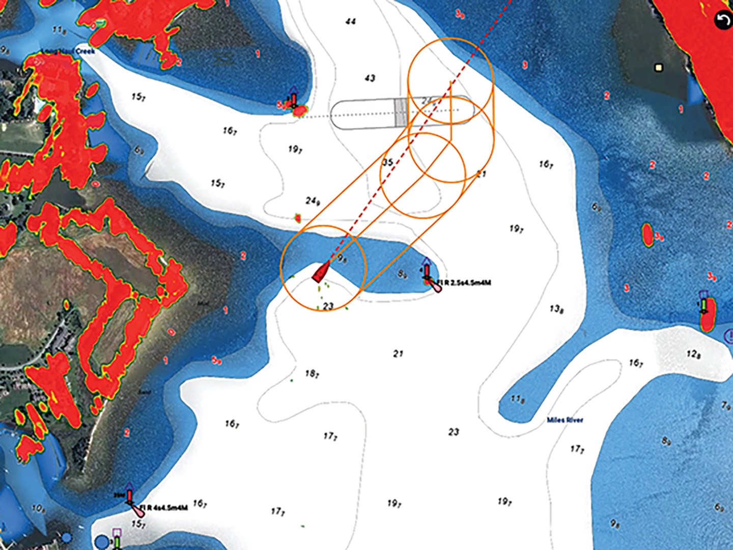
There is no official Canadian current-prediction station at Malibu Rapids, though some of the navigation programs provide current predictions. Common wisdom is that slack current occurs approximately 35 minutes after the low tide at Point Atkinson, just outside Vancouver Harbor, or 25 minutes after the high tide at the same location. Keep in mind that some tide and current tables for the area do not compensate for daylight saving time.
We arrive about 30 minutes prior to the predicted slack and then watch the current at the outer end of the rapids. I prefer to transit in opposing current (an ebb current when you’re entering or a flood current on the way out) so that the current slows our speed, giving us more time to make course corrections.
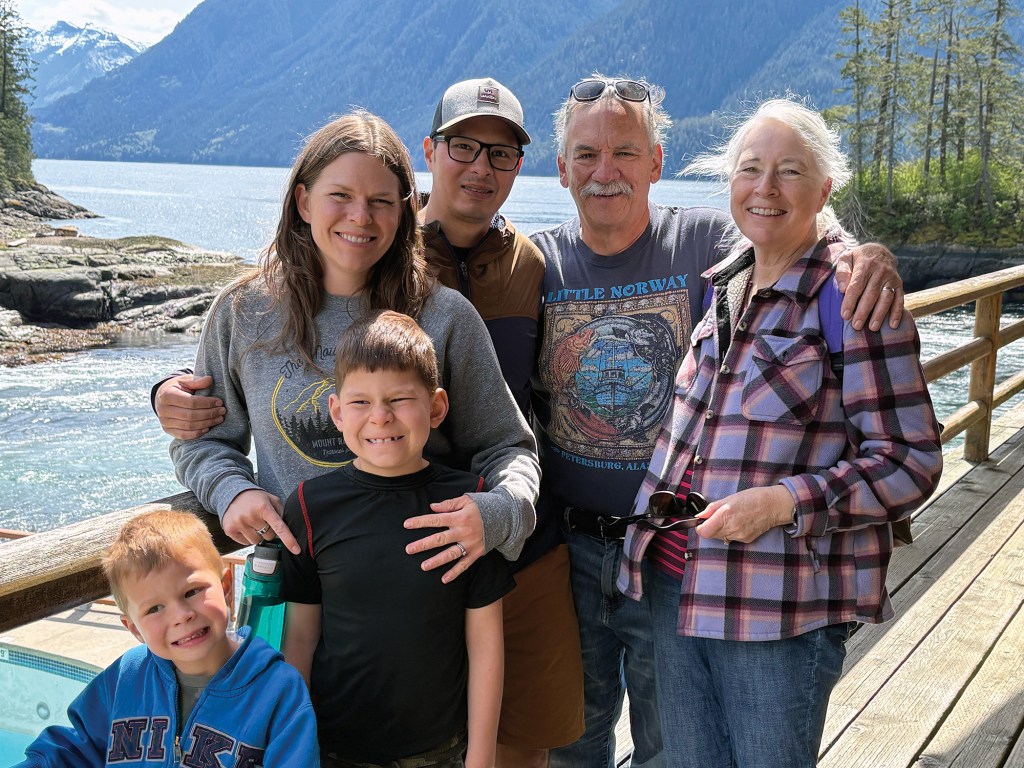
Other boats will likely be waiting nearby. Malibu Rapids has a dogleg in the middle and a small island in the outer mouth, so you can’t see through the rapids. It’s important to make a sécurité call on the VHF radio before entering the rapids.
You typically have only about 15 to 30 minutes of slack current, depending on the size of the tidal variation, before the water begins to reverse and accelerate in the opposite direction. In the summer, there may be a dozen or more boats waiting to make the transit.
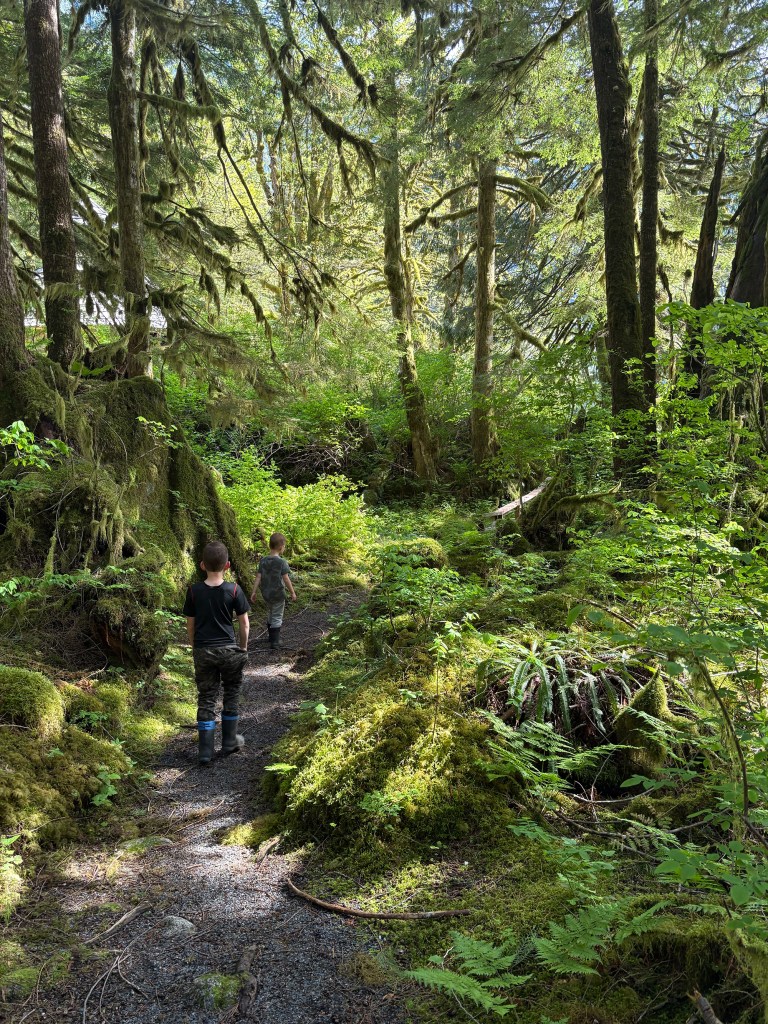
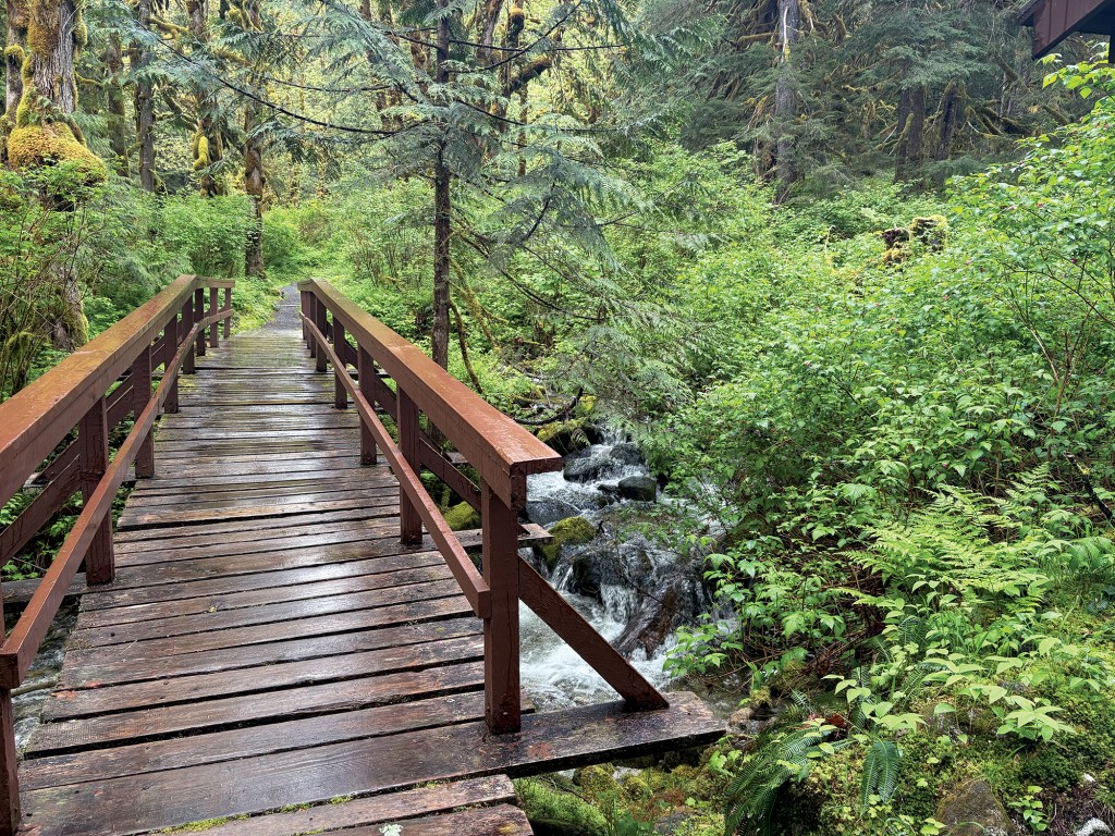
Once you’re through Malibu Rapids, you enter the stunning beauty of Princess Louisa Inlet. Our timing was nearly ideal: It was raining when we entered, which means dozens of small waterfalls along the canyon rim were active. The next day, the sky cleared and we had a sunny day to explore the trails around Chatterbox Falls. There’s a rough trail that climbs nearly 2,500 feet over challenging terrain to the remnants of a historic trapper’s cabin and a view down the fjord.
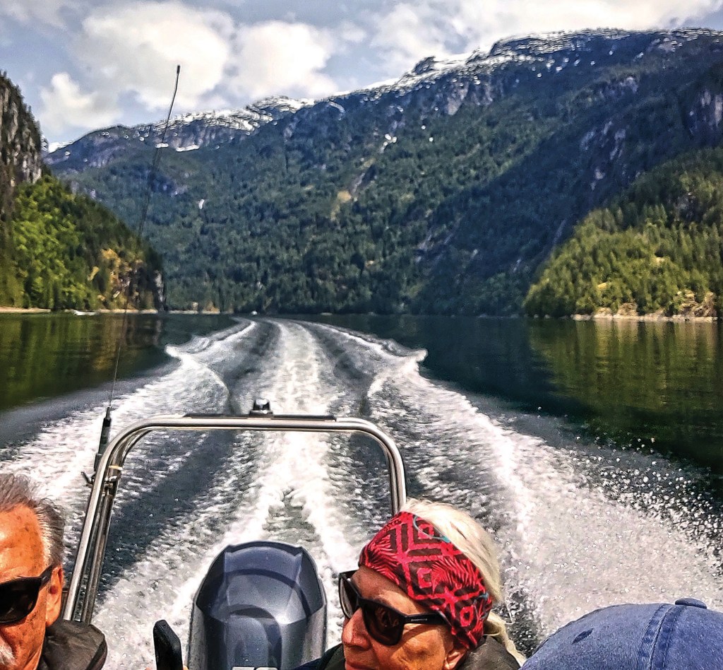
Another option is a dinghy ride to visit the Young Life camp, which welcomes visitors in the spring before the camping season. A staff member spent an hour and a half walking us through the facility and describing its history. The deck that surrounds the camp’s dining hall overlooks the swimming pool and Malibu Rapids, so it’s a great vantage point for watching the rapids from a safe distance when the current is running hard.
The majority of Princess Louisa Inlet is public land in the Princess Louisa Marine Provincial Park, and it is truly a space unlike almost any other. A visit here should be on every Pacific Northwest cruiser’s bucket list.
This article originally appeared in the May/June 2026 issue of Passagemaker magazine.