As the first signs of fall settled in, we were eager to linger in New England’s finest season, but the southward pull was already in motion. We left the anchorage and headed into a thick fog—the type of conditions that demand every tool a navigator has, and a sober respect for how they’re used.
The Cape Cod Canal and Buzzards Bay, at its southern end in Massachusetts, are no place to be casual. The area funnels commercial traffic, ferries, fishing vessels and countless recreational boats into a narrow body of water with fast-moving currents. On a clear day, cruising here requires vigilance. In dense fog, the margin for error shrinks to almost nothing.
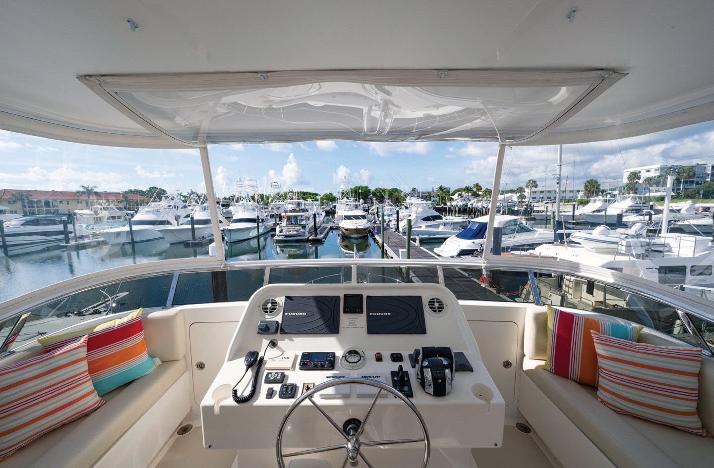
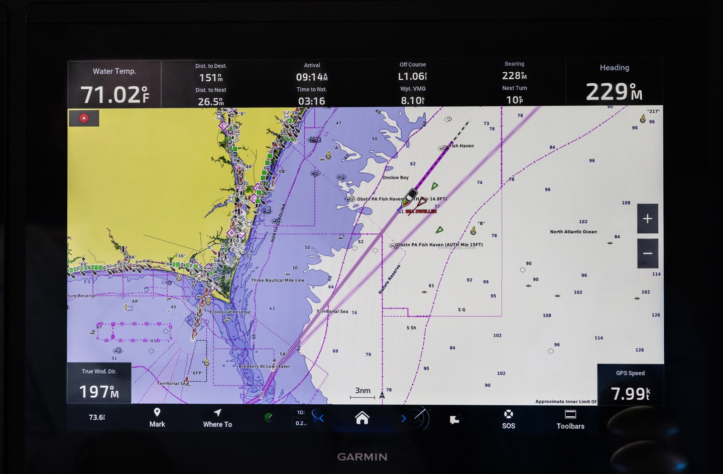
This was hardly our first run in reduced visibility. After a summer of cruising the coast of Maine, where fog seems stitched into the landscape, we had developed a disciplined routine for running on instruments. It included both radar systems operating, with one overlaid on the chartplotter and the other tuned for the conditions in standard mode; VHF radio monitoring channels 16 and 13; automatic fog signal broadcasting the five-second horn blast every two minutes to indicate a vessel making way under power; navigation lights on; pilothouse doors slightly open, so we could hear the bells of buoys, the horns of unseen vessels, and the sound of water displaced by a passing hull; and, AIS displayed on radar and chartplotter, with alarms set for vessels within 2 miles or 24 minutes of our track.
Our radar is the workhorse of low-visibility navigation. It is also why we have two. They paint what is out there: land, buoys and boats, in real time. When tuned correctly and set to the optimal range, your radar will give you ample time to avoid the risk of collision.
What radar does not give you is identity. A target is a target, whether it’s a lobster boat, a tug or a container ship. That’s where AIS comes in.
AIS transmits, receives and displays detailed vessel information. At its best, it answers the questions radar cannot: What is the vessel’s name? How big is it? What is its classification? Where is it going?
The value of this cannot be overstated. A radar echo closing on your bow might be a freighter constrained by draft. Or it might be a 20-foot center console moving toward you at high speed. The actions you take depend on knowing the difference. AIS, when used correctly, provides that knowledge.
What AIS Should Tell You
AIS information comes in three categories. They are: static data, dynamic data and voyage-related data. Understanding them helps you recognize which parts can be trusted and which might be suspect.
Static data is programmed into the unit when it’s installed. This includes vessel name, type, MMSI number, call sign and physical dimensions. This data does not change unless it’s updated.
Dynamic data is what is continuously transmitted from onboard sensors such as GPS and an electronic compass, without the need for operator input. It includes position, course, speed, heading and rate of turn. The refresh rate varies with the system type and the vessel’s speed.
IN THE END, AIS AND RADAR ARE ONLY TOOLS. THEY ARE POWERFUL, BUT THEY ARE NOT INFALLIBLE. ELECTRONICS CAN FAIL, DATA CAN BE WRONG, AND BATTERIES CAN DIE. WHAT REMAINS IS THE SEAMANSHIP SKILLS AND KNOWLEDGE OF THE OPERATOR.
Voyage-related data (limited to Class A systems) includes tools such as navigation status, destination and estimated time of arrival. Because it is user-entered, it is only as reliable as the person entering it.
Together, these categories give other mariners a full picture of who you are, what you’re doing, and how to avoid you. Web-based services have also made a successful business of displaying this data in real time on the internet. While AIS was developed as a tool to prevent collisions between commercial vessels, it has become equally valuable to recreational boaters.
As valuable as all of this is, when any piece of the data is wrong, the entire system is compromised.
One foggy morning on our radar and chartplotter, AIS displayed a vessel identified as fishing, with navigation status as engaged in fishing. According to the rules of the road, that vessel would have right-of-way over us as a power-driven boat. The problem was, this fishing vessel was moving at 26 knots. No one trawls nets at 26 knots.
A quick look at the boat’s photo on one of the AIS websites confirmed what we suspected: It was a recreational sportfishing boat that should have been classified as a pleasure craft. By misidentifying itself, it sent misleading signals about right-of-way.
Another time, approaching a narrow channel between two islands, our AIS showed an oncoming target with the dimensions of a vessel much larger than us. Rather than risk a tight pass in reduced visibility, we idled in rough conditions, waiting for the boat to clear. When the vessel came into sight, it was not a large boat at all, but instead a medium-size express cruiser transmitting incorrect dimensions.
Both cases underscore the point: AIS only improves safety if the information it carries is accurate. Incorrect data is not an inconsequential error. It can create confusion, hesitation or unsafe decisions.
The Coast Guard’s View
The U.S. Coast Guard has addressed this problem, even among commercial vessels. In a recent post on its “Maritime Commons” blog, the Coast Guard emphasized the importance of proper AIS configuration and use. Though aimed at the commercial fleet, the lessons apply to recreational boaters as well.
A page on the Coast Guard’s Navigation Center website (navcen.uscg.gov/ais-frequently-asked-questions) offers AIS user guides and FAQs that every boater would do well to review. For commercial vessels, improper AIS entry can carry penalties. For recreational vessels, the stakes may be different, but the responsibility is the same. Accurate communication is a duty of good seamanship.
In the end, AIS and radar are only tools. They are powerful, but they are not infallible. Electronics can fail, data can be wrong, and batteries can die. What remains is the seamanship skills and knowledge of the operator.
That seamanship begins with preparation: knowing how your systems work, testing everything before it’s needed, and programming devices correctly. Seamanship continues with awareness: using every source of information available, and never trusting one piece of equipment to tell the whole story. Seamanship ends with judgment: the human decision to slow down, to hold position, to call another vessel on the VHF radio, or to alter course early rather than late.
That foggy run through Buzzards Bay reminded us of the simple truth that technology is only as good as the care we put into using it. Radar can show you targets, and AIS can tell you who they are, but both require knowledge at the helm and a disciplined mind to interpret what they say.
This article originally appeared in the January/February 2026 issue of Passagemaker magazine.